- Usage in publication:
-
- Uyak Formation*
- Modifications:
-
- Named
- Dominant lithology:
-
- Shale
- Tuff
- Basalt
- Chert
- AAPG geologic province:
-
- Alaska Southwestern region
- Kodiak province
Summary:
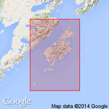
Named for village of Uyak, northwest coast of Kodiak Island, AK. Type section designated along west shore of Uyak Bay from 3 km south of Uyak to 4 km northwest of Uyak. Principal rock types are black shale, schistose green tuff, pillow basalt, red and light-gray chert, limestone lenses. Thickness of 6000 m is exposed. Unit thrust over younger rocks to southeast. Intruded by penecontemporaneous ultramafic rocks and by middle Tertiary quartz diorite batholith. Considered to be Triassic age on basis of marine Late Triassic fossils identified by N.J. Silberling (written commun., 1966). Fossils collected from limestone lens 700 m above base of unit at type section.
Source: GNU records (USGS DDS-6; Menlo GNULEX).

- Usage in publication:
-
- Uyak Formation*
- Modifications:
-
- Age modified
- AAPG geologic province:
-
- Alaska Southwestern region
- Kodiak province
Summary:
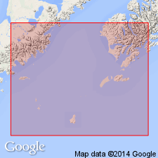
Uyak Formation now recognized as a melange containing tectonic blocks some containing Triassic and others containing Early Cretaceous marine fossils. Age accordingly revised to Early Cretaceous.
Source: GNU records (USGS DDS-6; Menlo GNULEX).

- Usage in publication:
-
- Uyak Complex*
- Modifications:
-
- Redescribed
- Revised
- AAPG geologic province:
-
- Alaska Southwestern region
- Kodiak province
Summary:
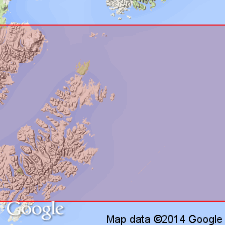
[Uyak Formation (Moore, 1969)] shown on map and cross sections of Kodiak Island as Uyak Complex. Basalt bodies indicated separately on cross sections. Lower Jurassic blueschist excluded from lower part of Uyak. Age given as Cretaceous on map legend.
Source: GNU records (USGS DDS-6; Menlo GNULEX).
For more information, please contact Nancy Stamm, Geologic Names Committee Secretary.
Asterisk (*) indicates published by U.S. Geological Survey authors.
"No current usage" (†) implies that a name has been abandoned or has fallen into disuse. Former usage and, if known, replacement name given in parentheses ( ).
Slash (/) indicates name conflicts with nomenclatural guidelines (CSN, 1933; ACSN, 1961, 1970; NACSN, 1983, 2005, 2021). May be explained within brackets ([ ]).

