- Usage in publication:
-
- Utukok formation*
- Modifications:
-
- Named
- Biostratigraphic dating
- Dominant lithology:
-
- Limestone
- Sandstone
- Shale
- AAPG geologic province:
-
- Alaska Northern region
Summary:
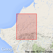
Named as lowermost formation (of 3) of Lisburne group in DeLong Mountains for Utukok River. Measured type section designated as exposures on north face and along top of Tupik Mountain about 2.5 mi northwest of junction of Tupik and Kogruk Creeks, DeLong Mountains, northern AK. Is predominantly ferruginous sandy limestone, calcareous and quartzitic sandstone, and calcareous shale. Is about 2990 ft thick at type, although fault may cut sequence 500 ft above base. Gradationally and conformably underlies Kogruk formation (new) of Lisburne group. Base not seen. Fossil assemblage indicates Early Mississippian age.
Source: GNU records (USGS DDS-6; Menlo GNULEX).

- Usage in publication:
-
- Utukok Formation*
- Modifications:
-
- Age modified
- Biostratigraphic dating
- AAPG geologic province:
-
- Alaska Northern region
Summary:
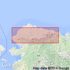
Age is Early and Late Mississippian based on revised megafossil zonations. Assemblages (brachiopods, bryozoans, blastoids, corals, and crinoids) in DeLong Mountains, western Brooks Range, range from Osagean to Meramecian in age.
Source: GNU records (USGS DDS-6; Menlo GNULEX).
For more information, please contact Nancy Stamm, Geologic Names Committee Secretary.
Asterisk (*) indicates published by U.S. Geological Survey authors.
"No current usage" (†) implies that a name has been abandoned or has fallen into disuse. Former usage and, if known, replacement name given in parentheses ( ).
Slash (/) indicates name conflicts with nomenclatural guidelines (CSN, 1933; ACSN, 1961, 1970; NACSN, 1983, 2005, 2021). May be explained within brackets ([ ]).

