

- Usage in publication:
-
- Ute Canyon tongue*
- Modifications:
-
- Named
- Dominant lithology:
-
- Sandstone
- AAPG geologic province:
-
- San Juan basin
Summary:
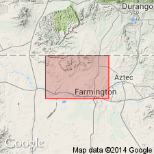
Named as a tongue in the upper part of the Cliff House sandstone, upper formation of Mesaverde group, for exposures in Ute Canyon, southeastern part of the Ute Mountain Indian Reservation, San Juan Co, NM in the San Juan basin. No type locality designated. Is a northeasterly thickening wedge of white to orange, fine-grained, calcareous sandstone of marine and littoral origin. Is about 440 ft thick. Overlies shale of Menefee formation. Underlies Lewis shale. Geologic map. Cross section. Of Late Cretaceous age.
Source: GNU records (USGS DDS-6; Denver GNULEX).
For more information, please contact Nancy Stamm, Geologic Names Committee Secretary.
Asterisk (*) indicates published by U.S. Geological Survey authors.
"No current usage" (†) implies that a name has been abandoned or has fallen into disuse. Former usage and, if known, replacement name given in parentheses ( ).
Slash (/) indicates name conflicts with nomenclatural guidelines (CSN, 1933; ACSN, 1961, 1970; NACSN, 1983, 2005, 2021). May be explained within brackets ([ ]).