The National Geologic Map Database is migrating to a new infrastructure. We apologize for any service disruptions during this process.
|
|---|


- Usage in publication:
-
- Ungalik conglomerate*
- Modifications:
-
- Named
- Dominant lithology:
-
- Conglomerate
- AAPG geologic province:
-
- Alaska West-Central region
Summary:
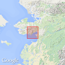
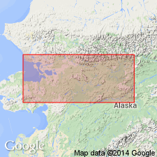
Named after Ungalik River, along whose lower course it was first noted in Norton Bay-Nulato region, west-central AK. Exposed in steep-faced cliffs along Ungalik River and forms most of prominent range of hills between the river and coastal plain from Bonanza Creek north to over mi below CampA17. Also occurs along East Fork of Koyuk River and on Kwik-Tubutulik divide. Consists of red-weathering conglomerate of marine origin made up of rounded debris from older formations upon which it unconformably rests. Conformably underlies Shaktolik group (new). Thickness is at least several 100 ft. Is lowermost Cretaceous sedimentary formation in region.
Source: GNU records (USGS DDS-6; Menlo GNULEX).
- Usage in publication:
-
- Ungalik Conglomerate*
- Modifications:
-
- Age modified
- AAPG geologic province:
-
- Alaska West-Central region
Summary:
Listed as "local stratigraphic name" in Norton Bay area in stratigraphic chart of units in northern Yukon-Koyukuk province. Age shown as Early and Late Cretaceous.
Source: GNU records (USGS DDS-6; Menlo GNULEX).
For more information, please contact Nancy Stamm, Geologic Names Committee Secretary.
Asterisk (*) indicates published by U.S. Geological Survey authors.
"No current usage" (†) implies that a name has been abandoned or has fallen into disuse. Former usage and, if known, replacement name given in parentheses ( ).
Slash (/) indicates name conflicts with nomenclatural guidelines (CSN, 1933; ACSN, 1961, 1970; NACSN, 1983, 2005, 2021). May be explained within brackets ([ ]).