- Usage in publication:
-
- Underhill formation
- Modifications:
-
- Named
- Dominant lithology:
-
- Schist
- Quartzite
- AAPG geologic province:
-
- New England province
Summary:
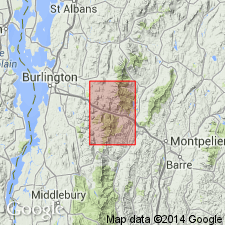
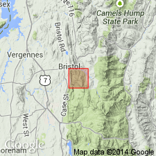
Name Underhill formation proposed for rocks that lie above Pinnacle formation and below Hazens Notch formation (new) in Camels Hump group. Consists principally of moderately fine-grained quartzo-feldspathic and pelitic sedimentary rocks and some basic volcanic rocks, which have been metamorphosed to greenschist facies. Comprises most of Camels Hump group in Mount Mansfield quad. In southwest part of area, where Pinnacle formation is missing, overlies Tibbet Hill volcanics. In part, equivalent in time to upper parts of Pinnacle formation because of changes in facies. To north, partly equivalent to West Sutton formation. To south in Mount Lincoln quad, underlies Mount Abraham schist. Age is Cambrian.
Source: GNU records (USGS DDS-6; Reston GNULEX).
- Usage in publication:
-
- Underhill formation
- Modifications:
-
- Revised
- AAPG geologic province:
-
- New England province
Summary:
Underhill formation subdivided into Fairfield Pond, White Brook, Forestdale, Jay Peak, Foot Brook, Mount Abraham schist, Battell, and Mountain Peak members. Age shown as Early Cambrian.
Source: GNU records (USGS DDS-6; Reston GNULEX).
- Usage in publication:
-
- Underhill formation*
- Modifications:
-
- Overview
- AAPG geologic province:
-
- New England province
Summary:
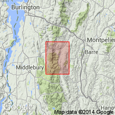
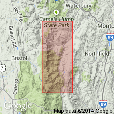
Described in study area as chiefly quartz sericite-albite-chlorite-biotite schist. In rocks of higher metamorphic grade on summit of Green Mountains, the schist is garnetiferous, contains albite porphyroblasts, and grades into beds of gneiss. Formation also includes carbonaceous schist and quartzite, feldspathic and sericitic quartzite, calcite marble, greenstone, and amphibolite. Locally rests on Mount Holly complex, but elsewhere on Pinnacle formation. Grades stratigraphically upward into, as well as laterally eastward into, Mount Abraham schist. This relationship is clearest northeast of Mount Ellen where southward-plunging Underhill formation interfingers with Mount Abraham schist. Age is Early Cambrian(?).
Source: GNU records (USGS DDS-6; Reston GNULEX).
- Usage in publication:
-
- Underhill Formation
- Modifications:
-
- Revised
- AAPG geologic province:
-
- New England province
Summary:
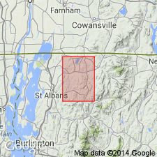
In study area consists mainly of greenish quartz-chlorite-sericite phyllites lying stratigraphically between Pinnacle and Cheshire Formations, where author would place rocks of type locality within Underhill facies of Pinnacle Formation, for they are clearly stratigraphically equivalent to rocks of Pinnacle Formation in Enosburg area, being below an excellent horizon marker, the Whitebrook dolomite and slate. However, Underhill facies of the Pinnacle and phyllites of Underhill Formation are practically indistinguishable in the field, and it is unavoidable, wherever dividing White Brook dolomite and slate are absent, to map all rocks of Underhill facies as one unit. In western part of outcrop belt, Underhill rocks are well defined between White Brook Dolomite or coarse Pinnacle graywacke below and Cheshire Formation above. Rocks in this clearly defined area are here recognized as Fairfield Pond Member. As mapped, the Underhill includes Fairfield Pond Member, Bakersfield Greenstone, Peaked Mountain Greenstone, White Brook Member, Jay Peak Member, and West Sutton Slate Member. Eastern facies of Underhill is named Bonsecours facies.
Source: GNU records (USGS DDS-6; Reston GNULEX).
- Usage in publication:
-
- Underhill Formation*
- Modifications:
-
- Age modified
- AAPG geologic province:
-
- New England province
Summary:
The Underhill lies stratigraphically above basement rocks of Mount Holly Complex of Grenville (1 b.y.) age. Age changed to Late Proterozoic and(or) Early Cambrian.
Source: GNU records (USGS DDS-6; Reston GNULEX).
- Usage in publication:
-
- Underhill Formation
- Modifications:
-
- Overview
- AAPG geologic province:
-
- New England province
Summary:
The three members recognized within the Underhill Formation include the quartz laminated schist, schist and metawacke, and greenstone and amphibolite. [Formal members of Underhill not mentioned.] Eastern boundary with Monastery Formation is sharp. Unit is correlated with the Late Proterozoic and Early Cambrian Pinnacle Formation of northern VT.
Source: GNU records (USGS DDS-6; Reston GNULEX).
For more information, please contact Nancy Stamm, Geologic Names Committee Secretary.
Asterisk (*) indicates published by U.S. Geological Survey authors.
"No current usage" (†) implies that a name has been abandoned or has fallen into disuse. Former usage and, if known, replacement name given in parentheses ( ).
Slash (/) indicates name conflicts with nomenclatural guidelines (CSN, 1933; ACSN, 1961, 1970; NACSN, 1983, 2005, 2021). May be explained within brackets ([ ]).

