- Usage in publication:
-
- Ullin Limestone
- Modifications:
-
- Named
- Dominant lithology:
-
- Limestone
- AAPG geologic province:
-
- Illinois basin
Summary:
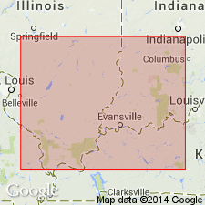
Name proposed for the light-colored fine- to coarse-grained bryozoan- and crinoid-rich limestone strata that overlie Fort Payne Formation (or the Borden, Springville, Warsaw, or Chouteau Formations where Fort Payne is absent) and underlie Salem Limestone. The Ullin filled elongate depressions between the tongue of the Fort Payne Formation and the Borden delta. Reaches maximum thickness in excess of 800 ft in Hamilton Co., IL, and is less than 500 ft thick in southwestern IN. Pinches out between Warsaw and Salem Formation in western IL. Includes Ramp Creek Member below and Harrodsburg Member above. Age is Mississippian.
Source: GNU records (USGS DDS-6; Reston GNULEX).

- Usage in publication:
-
- Ullin Limestone
- Modifications:
-
- Revised
- AAPG geologic province:
-
- Illinois basin
Summary:
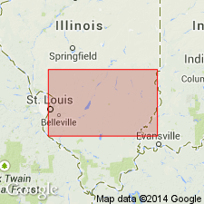
Unit is stratigraphically reduced. Uppermost 14 ft assigned to Salem Limestone and referred to the Kidd Member.
Source: GNU records (USGS DDS-6; Reston GNULEX).

- Usage in publication:
-
- Ullin Limestone
- Modifications:
-
- Areal extent
- Biostratigraphic dating
- Overview
- AAPG geologic province:
-
- Illinois basin
Summary:
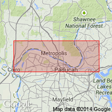
Name Ullin Limestone is this report is equivalent to the "Warsaw" as used by the oil industry and is approximately equivalent to the Warsaw Limestone as used in KY. Most of the natural exposures of the Ullin described by Lineback (1966) have been reinterpreted to be part of the underlying Fort Payne Formation. Though Lineback divided the unit into two members, they are not formally used in this report. The boundary between the two is gradational and they appear to intertongue. Informal upper and lower Ullin used here. Ullin terminology used at Reed quarry (KY) where contact with Fort Payne is drawn approximately 70 ft lower in the section than Warsaw-Fort Payne contact previously drawn. Mound facies now included in lower part of Ullin. Conodont samples confirm an early Meramecian age for the upper part of the Ullin in IL. Lower Ullin is late Osagean.
Source: GNU records (USGS DDS-6; Reston GNULEX).
For more information, please contact Nancy Stamm, Geologic Names Committee Secretary.
Asterisk (*) indicates published by U.S. Geological Survey authors.
"No current usage" (†) implies that a name has been abandoned or has fallen into disuse. Former usage and, if known, replacement name given in parentheses ( ).
Slash (/) indicates name conflicts with nomenclatural guidelines (CSN, 1933; ACSN, 1961, 1970; NACSN, 1983, 2005, 2021). May be explained within brackets ([ ]).

