- Usage in publication:
-
- Tyson member
- Modifications:
-
- Named
- Dominant lithology:
-
- Conglomerate
- Sandstone
- AAPG geologic province:
-
- New England province
Summary:
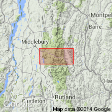
Named the Tyson member of the Monastery formation in west-central VT. The name Tyson is attributed to Thompson (1950, unpub. thesis). Consists of a basal conglomerate and schistose sandstone. Thickness varies from a featheredge to 600 ft. The Tyson is the lower member of the Monastery formation of Early Cambrian age. Unit overlies the Mount Holly complex and underlies the Battell member of the Monastery formation.
Source: GNU records (USGS DDS-6; Reston GNULEX).
- Usage in publication:
-
- Tyson formation
- Modifications:
-
- Revised
- AAPG geologic province:
-
- New England province
Summary:
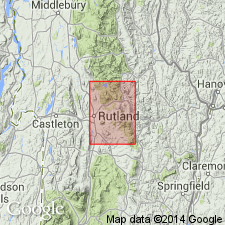
Raised the rank of the Tyson to the Tyson formation in the Rutland area of VT. Consists of thin discontinuous units of grit, conglomerate, and dolomite. Unit is as much as 600 feet thick. The Tyson overlies the Precambrian(?) Saltash formation or Mount Holly complex and underlies the Grahamville formation, and is of Cambrian and Ordovician age.
Source: GNU records (USGS DDS-6; Reston GNULEX).
- Usage in publication:
-
- Tyson formation
- Modifications:
-
- Age modified
- AAPG geologic province:
-
- New England province
Summary:
The age of the Tyson formation is changed from Cambrian and Ordovician to just Cambrian. Consists of feldspathic quartz-mica schist containing biotite, chlorite, and carbonate. Many beds contain pebbles of quartz and feldspar, and cobble or boulder conglomerate is common at the base. The upper part contains thin beds of quartzite, carbonaceous phyllite, and schistose dolomite overlain by massive buff dolomite.
Source: GNU records (USGS DDS-6; Reston GNULEX).
- Usage in publication:
-
- Tyson Formation*
- Modifications:
-
- Areal extent
- AAPG geologic province:
-
- New England province
Summary:
In Glens Falls quad, rocks of eastern Green Mountain terrane, east of Richardson Memorial Contact (an eastward-facing unconformity or possibly a tectonic contact) include the Hoosac, Pinney Hollow, Ottauquechee, and Stowe Formations (of probable Cambrian through Early Ordovician age), Moretown Formation (probably Ordovician), and Barnard Volcanic Member of Missisquoi Formation [unclear as to its stratigraphic position or age here]. West of Richardson Memorial Contact, rocks include conglomeratic units such as Tyson Formation as used by Doll and others (1961) [no age provided, but presumably Cambrian].
Source: GNU records (USGS DDS-6; Reston GNULEX).
- Usage in publication:
-
- Tyson Formation*
- Modifications:
-
- Age modified
- Overview
- AAPG geologic province:
-
- New England province
Summary:
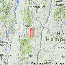
The Tyson Formation contains grits and conglomerates at its base that unconformably overlie basement. The conglomerates and grits are as much as 150 m thick and contain lenses of dolomitic quartzite and feldspathic grit. Unit also contains black carbonaceous phyllite and interbedded dolostone as much as 100 m thick, followed by beige to tan weathering beds of dolostone that increase in abundance toward the top of the unit and pass into punky weathering dolomitic and feldspathic quartzite at the top. From a point near the southwest corner of the Andover quad, the rocks of the Tyson Formation are laterally replaced by albitic schists and granofels of the Hoosac Formation to the south. Therefore, Tyson laterally replaces the Hoosac from south to north along the eastern margin of the Green Mountain massif. The Tyson Formation is of Late Proterozoic(?) and Early Cambrian age.
Source: GNU records (USGS DDS-6; Reston GNULEX).
- Usage in publication:
-
- Tyson Formation
- Modifications:
-
- Not used
- AAPG geologic province:
-
- New England province
Summary:
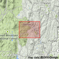
Cover rocks overlying basement of West River antiformal sheath fold (in hanging-wall of Ball Mountain thrust) consist of albitic schist locally containing pods of white dolomite and discontinuous basal beds of vitreous quartzite and interbedded dolomite as much as 15 m thick. These rocks were previously mapped as Tyson Formation by Doll and others (1961, State geologic map) and Karabinos (1984) and are now mapped as Hoosac Formation in this quad because of the presence of quartzite and dolomite locally contained within rusty albitic schist and granofels rocks typical of Hoosac. Similarly, cover rocks of Jamaica antiformal sheath fold consist of a 10-m-thick basal and quite continuous belt of dolomite marble that contains thin beds of vitreous quartzite. This unit was also mapped as Tyson by Doll and others (1961) and by Karabinos (1984) and is now mapped as Hoosac.
Source: GNU records (USGS DDS-6; Reston GNULEX).
For more information, please contact Nancy Stamm, Geologic Names Committee Secretary.
Asterisk (*) indicates published by U.S. Geological Survey authors.
"No current usage" (†) implies that a name has been abandoned or has fallen into disuse. Former usage and, if known, replacement name given in parentheses ( ).
Slash (/) indicates name conflicts with nomenclatural guidelines (CSN, 1933; ACSN, 1961, 1970; NACSN, 1983, 2005, 2021). May be explained within brackets ([ ]).

