

- Usage in publication:
-
- Tyler slate*
- Modifications:
-
- Named
- Dominant lithology:
-
- Slate
- AAPG geologic province:
-
- Wisconsin arch
Summary:
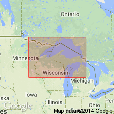
Tyler slate designated upper slate formation of Upper Huronian in Penokee-Gogebic district. Named for exposures on Tylers Fork. Overlies Ironwood formation and unconformably underlies the great basal gabbro of the Keweenawan. [Thickness in later reports given as 7,000 to >11,000 ft.]
Source: GNU records (USGS DDS-6; Reston GNULEX).
For more information, please contact Nancy Stamm, Geologic Names Committee Secretary.
Asterisk (*) indicates published by U.S. Geological Survey authors.
"No current usage" (†) implies that a name has been abandoned or has fallen into disuse. Former usage and, if known, replacement name given in parentheses ( ).
Slash (/) indicates name conflicts with nomenclatural guidelines (CSN, 1933; ACSN, 1961, 1970; NACSN, 1983, 2005, 2021). May be explained within brackets ([ ]).