

- Usage in publication:
-
- Tyler sandstone member
- Modifications:
-
- Original reference
- Dominant lithology:
-
- Sandstone
- AAPG geologic province:
-
- Central Montana uplift
Summary:
Pg. 827. Tyler sandstone member of Quadrant formation. White to red sandstones interbedded with varicolored sandy shale. Thickness 300 feet. On Alaska Bench is overlain by Alaska Bench limestone [according to text, but in generalized section of Quadrant formation of central Montana he showed 100 feet of gray shale between Alaska Bench limestone and Tyler sandstone]. Rests on Otter shales, also a member of Quadrant formation. [Age is Pennsylvanian(?).]
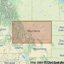
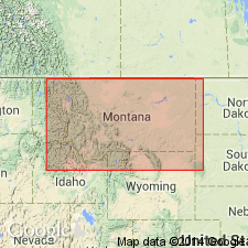
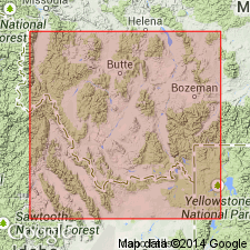
Beautifully exposed at east end of Middle Bench, along east flank of Little Snowy Mountains, in T. 12 N., R. 22 E., 1 mi west of post office of Tyler [historical (closed in 1940); approx. Lat. 46 deg. 49 min. 51 sec. N., Long. 108 deg. 52 min. 17 sec. W., Tyler 7.5-min quadrangle], Fergus Co., central MT.
[Additional locality information from USGS GNIS database and ACME Mapper 2.0, accessed December 9, 2011.]
Source: US geologic names lexicon (USGS Bull. 896, p. 2206).
- Usage in publication:
-
- Tyler Formation*
- Modifications:
-
- Reference
- Dominant lithology:
-
- Shale
- Limestone
- AAPG geologic province:
-
- Central Montana uplift
- Powder River basin
- Williston basin
- Sweetgrass arch
Summary:
Assigned to Amsden Group (raised in stratigraphic rank) as its basal formation. Unconformably overlies Heath Formation of Big Snowy Group. Underlies Alaska Bench Limestone (formerly member of Amsden) of Amsden Group. Divided into Stonehouse Canyon Member (new) at base and Cameron Creek Member at top. Reference section designated and measured from NE1/4 SW1/4 sec 25 to SW1/4 sec 36, T13N, R19E and to NE1/4 sec 1, T12N, R19E, Fergus Co, MT. Occurs in Central Montana uplift, Powder River and Williston basins, and Sweetgrass arch. Of Morrow, Early Pennsylvanian age. Cross sections. Measured sections. Correlation chart. Fossil chart.
Source: GNU records (USGS DDS-6; Denver GNULEX).
- Usage in publication:
-
- Tyler Formation*
- Modifications:
-
- Overview
Summary:
Is Mississippian in age throughout most of its areal extent. Is equivalent in part to Conover Ranch Formation (new) of Snowcrest Range Group (new) of southwest MT, Montana folded belt province.
Source: GNU records (USGS DDS-6; Denver GNULEX).
For more information, please contact Nancy Stamm, Geologic Names Committee Secretary.
Asterisk (*) indicates published by U.S. Geological Survey authors.
"No current usage" (†) implies that a name has been abandoned or has fallen into disuse. Former usage and, if known, replacement name given in parentheses ( ).
Slash (/) indicates name conflicts with nomenclatural guidelines (CSN, 1933; ACSN, 1961, 1970; NACSN, 1983, 2005, 2021). May be explained within brackets ([ ]).