- Usage in publication:
-
- Twowells sandstone lentil
- Modifications:
-
- Named
- Dominant lithology:
-
- Sandstone
- AAPG geologic province:
-
- San Juan basin
Summary:
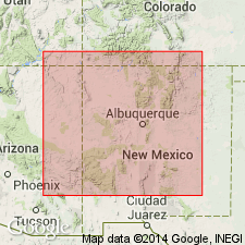
Named as a sandstone lentil in the lower part of the Mancos shale for exposures near Two Wells in T12N, R19W, McKinley Co, NM in the San Juan basin--the type locality. Consists of 20 ft of soft white and light-gray sand[stone] with irregular, hard, brown, indurated masses in a section measured in secs 9, 16, 17, T12N, R19W near Two Wells. Overlies a blocky light-gray sandstone of unnamed part of Mancos. Underlies an interval of fossiliferous gray shale and gray and tan sandstone with numerous hard concretions of an unnamed part of the Mancos. Ranges between 0 to 35 ft thick. Lies 30 to 75 ft above base of Mancos. Forms a prominent hogback on west side of narrow strike valley, and has been mismapped as Dakota? (Sears, 1925). INOCERAMUS LABIATUS? found within unit. Is probably of Greenhorn age. Geologic map; cross section; block diagram; correlation chart; measured section.
Source: GNU records (USGS DDS-6; Denver GNULEX).
- Usage in publication:
-
- Twowells Sandstone Member
- Modifications:
-
- Revised
- Overview
- AAPG geologic province:
-
- San Juan basin
Summary:
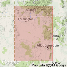
First published report in which Twowells assigned to Dakota Sandstone as its upper member. Lower contact of member revised in that Twowells transitionally overlies the newly named Whitewater Arroyo Shale Member of the Dakota. Section 33 ft thick measured at Whitewater Arroyo, NE1/4 sec 17, T12N, R19W, McKinley Co, NM, where Twowells is a grayish-tan (weathers yellow-tan), well-consolidated, fine to very fine grained, moderately sorted, laterally persistent sandstone. The sandstone has subangular grains, is quartzose, micaceous, and calcareous in lower part. Carbonaceous streaks in middle. Vertical burrows throughout. Is probably the same sandstone as the Tres Hermanos Sandstone; both sandstones occur at the same stratigraphic interval and can be traced within a few miles of each other. Separate names retained because exposures are poor between Tres Hermanos and Laguna areas on the east flank and those on the west flank of the San Juan basin. Cross section. Cretaceous age.
Source: GNU records (USGS DDS-6; Denver GNULEX).
- Usage in publication:
-
- Twowells Tongue*
- Modifications:
-
- Revised
- AAPG geologic province:
-
- San Juan basin
Summary:
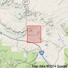
Twowells Sandstone Member of Dakota Sandstone adopted and redesignated Twowells Tongue of Dakota. Traced by authors from the Continental Divide to east edge of quad where it correlates with the upper sandstone part of the Mancos called unit C. Tongue consists of 4-6 ft of yellow-brown, fine-grained, silty sandstone and sandy siltstone with gray lenticular beds of fossiliferous limestone. Report area lies in San Juan basin. Schematic stratigraphic diagram.
Source: GNU records (USGS DDS-6; Denver GNULEX).
- Usage in publication:
-
- Twowells Sandstone Tongue*
- Modifications:
-
- Overview
- Areal extent
- AAPG geologic province:
-
- San Juan basin
- Orogrande basin
- Black Mesa basin
Summary:
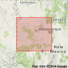
As a tongue of Dakota Sandstone, is mostly silty, fine to very fine grained sandstone that forms bold cliffs. In some places, upper part is softer and siltier making a subdued outcrop. Is persistent throughout most of west-central NM. Extends as far north as Window Rock, Apache Co, AZ in Black Mesa basin and La Ventana, Sandoval Co, NM in San Juan basin, and as far south as Rio Salado, Socorro Co, NM in Orogrande basin. Overlies Whitewater Arroyo Shale Tongue of Mancos Shale; underlies main body of Mancos. Is an extensive offshore shallow-water marine shelf sandstone derived from the southwest. Is fossiliferous, probably of Hartland (Shale member of Greenhorn Limestone) or Late Cretaceous age.
Source: GNU records (USGS DDS-6; Denver GNULEX).
- Usage in publication:
-
- Twowells Tongue*
- Modifications:
-
- Revised
- Areal extent
- AAPG geologic province:
-
- Orogrande basin
- San Juan basin
Summary:
Underlies newly named Rio Salado Tongue of Mancos Shale from Atarque, Valencia Co, San Juan basin to Puertocito, Socorro Co, Orogrande basin. Shown as pinching out east of Puertocito. Was miscorrelated by Pike (1947) with Tres Hermanos [Formation of this report].
Source: GNU records (USGS DDS-6; Denver GNULEX).
- Usage in publication:
-
- Twowells Tongue*
- Modifications:
-
- Biostratigraphic dating
- Overview
- AAPG geologic province:
-
- San Juan basin
Summary:
Is tongue of the Dakota Sandstone in the San Juan basin in west-central NM. Overlies Whitewater Arroyo Tongue of Mancos Shale in Moreno Hill, Upper Nutria, Gallup, and Laguna-San Ysidro areas; overlies unnamed lower part of Mancos in Acoma Pueblo area. Is overlain either by the Rio Salado Tongue of the Mancos (Moreno Hill, Upper Nutria, Acoma Pueblo, and Laguna-Rio Puerco valley areas) or by an equivalent unnamed shale member of the Mancos. Top of the Twowells seems to be a persistent time line. Molluscan fossils are diverse; 22 bivalve species, 2 gastropod species, and 5 ammonite species are known from the unit. Fossils reveal that the unit lies in the ammonite zones of CALYCOCERAS CANITAURINUM and METOICOCERAS MOSBYENSE (lower part) of early late Cenomanian age (Late Cretaceous). Figure 2 is stratigraphic nomenclature and correlation chart of middle Cenomanian to lower Coniacian rocks in west-central NM, spanning 20 ammonite zones.
Source: GNU records (USGS DDS-6; Denver GNULEX).
- Usage in publication:
-
- Twowells Tongue*
- Modifications:
-
- Biostratigraphic dating
- AAPG geologic province:
-
- Black Mesa basin
- Basin-and-Range province
Summary:
Is tongue of Dakota Sandstone. Assigned a late Cenomanian (Late Cretaceous) age based on identification of the ammonite CALYCOCERAS (CALYCOCERAS) OBRIENI from localities in Apache Co, AZ in Black Mesa basin and Catron Co, NM in Basin-and-Range province. Fauna places unit in the upper Cenomanian METOICOCERAS MOSBYENSE zone.
Source: GNU records (USGS DDS-6; Denver GNULEX).
- Usage in publication:
-
- Twowells Tongue*
- Modifications:
-
- Areal extent
- AAPG geologic province:
-
- San Juan basin
Summary:
Mapped and questionably identified as a tongue of the Upper Cretaceous Dakota Sandstone on two of five cross sections of the subsurface of southern La Plata Co, CO and northern San Juan Co, NM in the San Juan basin.
Source: GNU records (USGS DDS-6; Denver GNULEX).
For more information, please contact Nancy Stamm, Geologic Names Committee Secretary.
Asterisk (*) indicates published by U.S. Geological Survey authors.
"No current usage" (†) implies that a name has been abandoned or has fallen into disuse. Former usage and, if known, replacement name given in parentheses ( ).
Slash (/) indicates name conflicts with nomenclatural guidelines (CSN, 1933; ACSN, 1961, 1970; NACSN, 1983, 2005, 2021). May be explained within brackets ([ ]).

