The National Geologic Map Database is migrating to a new infrastructure. We apologize for any service disruptions during this process.
|
|---|


- Usage in publication:
-
- Twiggs clay member*
- Modifications:
-
- Original reference
- Dominant lithology:
-
- Clay
- AAPG geologic province:
-
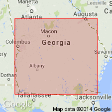
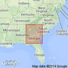
- South Georgia sedimentary province
Summary:
Pg. C51-C56; Georgia Geol. Survey Bull., no. 31, p. 14, 158-173, 1917. Twiggs clay member of Barnwell formation. Extensive but not entirely continuous beds and lenses of clay, varying from porous and siliceous to calcareous, glauconitic, pyritiferous, carbonaceous, or lignitic. Maximum thickness 100 feet. Basal member of Barnwell formation (of Jackson age) in most of its area, but near Savannah River it tongues out and older strata of the Barnwell (OSTREA GEORGIANA zone) underlie the Twiggs member. Replaces "Congaree" clay member, which was originally included in McBean formation, of Claiborne age, and supposed to be same as Congaree shales of Sloan. The latter, however, are now known to be much older than Twiggs clay. Age is late Eocene.
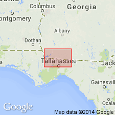
Named from exposures in Twiggs Co.. Typically seen near Pikes Peak station, on Macon, Dublin, and Savannah RR, eastern GA.
Source: US geologic names lexicon (USGS Bull. 896, p. 2203).
- Usage in publication:
-
- Twiggs clay member*
- Modifications:
-
- Overview
- AAPG geologic province:
-
- South Georgia sedimentary province
Summary:
In northern Washington and southern Jones, Baldwin, and Hancock Cos., Twiggs clay member of Barnwell formation consists of about 25 ft of pale-green hackly fuller's earth clay. To the south and southwest in western Washington and Wilkinson Cos., thickens gradually and locally includes 20 to 40 ft of green hackly clay, which grades down into 10 ft of gray marl, which in turn grades at some localities into 15 ft of calcareous sand at base of member. Near the type locality at Pike Peak station attains maximum thickness of 80 ft. In western and northern part of Twiggs Co., interfingers with Ocala limestone (Tivola tongue). Conformably underlies Irwinton sand member (new name) of Barnwell.
Source: GNU records (USGS DDS-6; Reston GNULEX).
- Usage in publication:
-
- Twiggs Clay*
- Modifications:
-
- Revised
- AAPG geologic province:
-
- South Georgia sedimentary province
Summary:
Twiggs Clay of formation rank used in this report.
Source: GNU records (USGS DDS-6; Reston GNULEX).
- Usage in publication:
-
- Twiggs Clay
- Modifications:
-
- Revised
- AAPG geologic province:
-
- South Georgia sedimentary province
Summary:
Twiggs Clay Member of Barnwell Formation raised to formation rank for the State map.
Source: GNU records (USGS DDS-6; Reston GNULEX).
- Usage in publication:
-
- Twiggs Clay Member
- Modifications:
-
- Principal reference
- Revised
- AAPG geologic province:
-
- South Georgia sedimentary province
Summary:
Twiggs Clay Member here assigned to Dry Branch Formation of Barnwell Group. A key alternate type locality where unit is 26 m thick is here proposed in Medusa Portland Cement Company pit in Houston Co, GA. Unit is pale to olive green, bluish to dark gray, silty to sandy clay. Thins to 3 m and pinches out east of Savannah River. Distinct from, but interfingers and intergrades with Griffins Landing Sand and Irwinton Sand Members. Age is late Eocene.
Source: GNU records (USGS DDS-6; Reston GNULEX).
For more information, please contact Nancy Stamm, Geologic Names Committee Secretary.
Asterisk (*) indicates published by U.S. Geological Survey authors.
"No current usage" (†) implies that a name has been abandoned or has fallen into disuse. Former usage and, if known, replacement name given in parentheses ( ).
Slash (/) indicates name conflicts with nomenclatural guidelines (CSN, 1933; ACSN, 1961, 1970; NACSN, 1983, 2005, 2021). May be explained within brackets ([ ]).