

- Usage in publication:
-
- Tuxedni sandstone*
- Modifications:
-
- Named
- Biostratigraphic dating
- Dominant lithology:
-
- Sandstone
- Shale
- Limestone
- Conglomerate
- AAPG geologic province:
-
- Alaska Southwestern region
Summary:
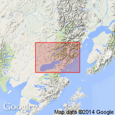
Named for exposures on south shore of Tuxedni Bay, Iliamna region, southwestern AK, designated locale of measured type section which is described in report. Rocks were formerly lower part of Enochkin formation of Stanton and Martin (1905). Consists chiefly of sandstone but contains much shale and few thin beds of limestone and conglomerate. Thickness at type is 1128 ft. Base is exposed on south shore of east arm of Iniskin Bay where unit rests unconformably on crystalline rocks of Early or Middle Jurassic age. Underlies Chinitna shale (new) of Callovian age. Age of Tuxedni is Middle Jurassic based on invertebrate fauna identified by T.W. Stanton and fossil plants identified by F.H. Knowlton. Lists of fossils included in report.
Source: GNU records (USGS DDS-6; Menlo GNULEX).
- Usage in publication:
-
- Tuxedni sandstone*
- Modifications:
-
- Areal extent
- AAPG geologic province:
-
- Alaska Southern region
Summary:
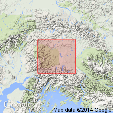
In Nelchina-Susitna region, southern AK, Tuxedni sandstone extends from line passing through forks of Alfred Creek and Tahneta Pass northward to Flat Creek and Willow Creek. Apparently unconformably overlies volcanic rocks of Early Jurassic age. Conformably underlies Chinitna formation. Age is Middle Jurassic based on fossils identified by T.W. Stanton.
Source: GNU records (USGS DDS-6; Menlo GNULEX).
- Usage in publication:
-
- Tuxedni formation*
- Modifications:
-
- Revised
- AAPG geologic province:
-
- Alaska Southwestern region
- Alaska Southern region
Summary:
Tuxedni formation, on Iniskin Peninsula, is divided into (ascending): basal siltstone and sandstone member, Gaikema sandstone and conglomerate member, siltstone member, Cynthia Falls sandstone member, and Bowser member. Tuxedni is not divided into members in Matanuska Valley on correlation chart.
Source: GNU records (USGS DDS-6; Menlo GNULEX).
- Usage in publication:
-
- Tuxedni Group*
- Modifications:
-
- Revised
- Age modified
- AAPG geologic province:
-
- Alaska Southwestern region
Summary:
Tuxedni Formation raised in rank to Tuxedni Group. Divided into (ascending): Red Glacier Formation (new), Gaikema Sandstone, Fitz Creek Siltstone (new), Cynthia Falls Sandstone, Twist Creek Siltstone (new) (all Middle Jurassic age) and Bowser Formation (of Middle(?) and Late Jurassic age). Thus age of Tuxedni Group is Middle and Late Jurassic.
Source: GNU records (USGS DDS-6; Menlo GNULEX).
- Usage in publication:
-
- Tuxedni Group*
- Modifications:
-
- Overview
- Age modified
- Biostratigraphic dating
- AAPG geologic province:
-
- Alaska Southwestern region
Summary:
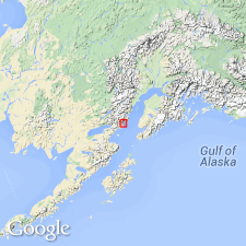
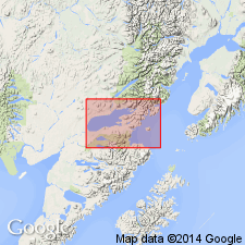
Within Iliamna quad, Tuxedni Group is exposed in area northeast of Iniskin Bay and east of Bruin Bay fault. Maximum thickness is about 1906 m. Is in fault contact with Talkeetna Formation. Disconformably underlies Chinitna Formation. Is entirely Middle Jurassic based on fossils of Bajocian and Bathonian Stages (Imlay and Detterman, 1973). Key ammonites listed in report.
Source: GNU records (USGS DDS-6; Menlo GNULEX).
For more information, please contact Nancy Stamm, Geologic Names Committee Secretary.
Asterisk (*) indicates published by U.S. Geological Survey authors.
"No current usage" (†) implies that a name has been abandoned or has fallen into disuse. Former usage and, if known, replacement name given in parentheses ( ).
Slash (/) indicates name conflicts with nomenclatural guidelines (CSN, 1933; ACSN, 1961, 1970; NACSN, 1983, 2005, 2021). May be explained within brackets ([ ]).