The National Geologic Map Database is migrating to a new infrastructure. We apologize for any service disruptions during this process.
|
|---|


- Usage in publication:
-
- Turupah formation*
- Modifications:
-
- Named
- Dominant lithology:
-
- Sand
- Alluvium
- AAPG geologic province:
-
- Great Basin province
Summary:
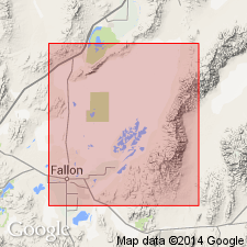
Named for Turupah Flat as youngest formation of Lahontan Valley group (new). Type locality is exposures along northwestern edge of Turupah Flat, secs.19,33 T18N R30E [Churchill Co, NV]. Consists of as much as 30 ft of eolian sand and local alluvium overlying with local disconformity Sehoo and Indian Lakes formations (both new and of Lahontan Valley group). Conformably underlies post-Lahontan soil and Fallon formation (new). Age given as late Pleistocene.
Source: GNU records (USGS DDS-6; Menlo GNULEX).
- Usage in publication:
-
- Turupah formation*
- Modifications:
-
- Overview
- AAPG geologic province:
-
- Great Basin province
Summary:
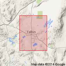
Type locality designated as exposures of eolian sand northwest of Turupah Flat that extends 0.5 mi on each side of side road from US HWY 50 from NW/4 sec.33 to SE/4 sec.29 T18N R30E [Churchill Co, NV]. Detailed lithological description and fossils included in report. Shown on geologic maps of Stillwater, Fallon, and Carson Lake 15' quads. Age given as Pleistocene.
Source: GNU records (USGS DDS-6; Menlo GNULEX).
- Usage in publication:
-
- Turupah Formation*
- Modifications:
-
- Age modified
- AAPG geologic province:
-
- Great Basin province
Summary:
Age of Turupah Formation is shown as Holocene in correlation chart. [Reference is made to Morrison and Frye (1965) which correlates Turupah with early part of "altithermal age" of Antevs (1948, 1952) and places Turupah in post-Lake Lahontan age.]
Source: GNU records (USGS DDS-6; Menlo GNULEX).
- Usage in publication:
-
- Turupah Alloformation
- Modifications:
-
- Redescribed
- AAPG geologic province:
-
- Great Basin province
Summary:
Turupah Formation of Morrison (1961) redescribed as Turupah Alloformation as defined in 1983 North American Stratigraphic Code. Stratigraphic chart shows unit as Holocene age.
Source: GNU records (USGS DDS-6; Menlo GNULEX).
For more information, please contact Nancy Stamm, Geologic Names Committee Secretary.
Asterisk (*) indicates published by U.S. Geological Survey authors.
"No current usage" (†) implies that a name has been abandoned or has fallen into disuse. Former usage and, if known, replacement name given in parentheses ( ).
Slash (/) indicates name conflicts with nomenclatural guidelines (CSN, 1933; ACSN, 1961, 1970; NACSN, 1983, 2005, 2021). May be explained within brackets ([ ]).