- Usage in publication:
-
- Turtleback Complex
- Modifications:
-
- Geochronologic dating
- AAPG geologic province:
-
- Bellingham basin
- Northern Cascade Range-Okanagan province
Summary:
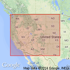
Pg. 29, geologic time scale (inside front cover). Turtleback Complex of McLellan (1927). Sample from pegmatitic hornblende dike in Turtleback Complex, in coastal outcrop on small headland, northeast side of East Sound, Lat. 48 deg. 40 min. 48 sec. N., Long. 122 deg. 53 min. 06 sec. W., Orcas Island quadrangle, San Juan County, Washington, yielded a K-Ar age of 554 +/-16 Ma (hornblende). Age calculated using decay constants of Steiger and Jager, 1977 (Earth Planet. Sci. Letters, v. 36, p. 359-362). [Cambrian]
Source: Publication.
For more information, please contact Nancy Stamm, Geologic Names Committee Secretary.
Asterisk (*) indicates published by U.S. Geological Survey authors.
"No current usage" (†) implies that a name has been abandoned or has fallen into disuse. Former usage and, if known, replacement name given in parentheses ( ).
Slash (/) indicates name conflicts with nomenclatural guidelines (CSN, 1933; ACSN, 1961, 1970; NACSN, 1983, 2005, 2021). May be explained within brackets ([ ]).

