

- Usage in publication:
-
- Turner Mine
- Modifications:
-
- Named
- Dominant lithology:
-
- Shale
- AAPG geologic province:
-
- Illinois basin
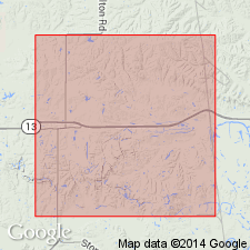
Summary:
The Turner Mine Shale Member of the Carbondale Formation is here named in the subsurface of the Illinois basin coal field. It consists of black, thinly laminated, hard, brittle, fissile, shale with pyrite, abundant organic matter, and high natural radioactivity. Spheroidal concretions of limestone occur near the base. Abruptly overlies the Springfield (No. 5) Coal Member or gradationally overlies the Dykersburg Shale Member, and unconformably underlies the St. David Limestone Member or the Canton Shale Member, all of the Carbondale Formation. Thickness at type section is 5 ft, but ranges from less than 1 in. to more than 8 ft. Age is Middle Pennsylvanian (Desmoinesian).
Source: GNU records (USGS DDS-6; Reston GNULEX).
- Usage in publication:
-
- Turner Mine Shale Member*
- Modifications:
-
- Overview
- AAPG geologic province:
-
- Illinois basin
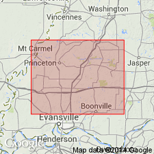
Summary:
In Eby Pit of Lynville Mine of Peabody Coal Co. in IN, Springfield Coal Member of Petersburg Formation of Carbondale Group is overlain by black, organic-rich, pyritiferous shales of marine or marginal marine origin, equivalent to Turner Mine Shale Member of Carbondale Formation in IL.
Source: GNU records (USGS DDS-6; Reston GNULEX).
For more information, please contact Nancy Stamm, Geologic Names Committee Secretary.
Asterisk (*) indicates published by U.S. Geological Survey authors.
"No current usage" (†) implies that a name has been abandoned or has fallen into disuse. Former usage and, if known, replacement name given in parentheses ( ).
Slash (/) indicates name conflicts with nomenclatural guidelines (CSN, 1933; ACSN, 1961, 1970; NACSN, 1983, 2005, 2021). May be explained within brackets ([ ]).