The National Geologic Map Database is migrating to a new infrastructure. We apologize for any service disruptions during this process.
|
|---|


- Usage in publication:
-
- Turner Creek formation
- Modifications:
-
- Named
- Dominant lithology:
-
- Mud
- Tuff
- Basalt
- Sandstone
- AAPG geologic province:
-
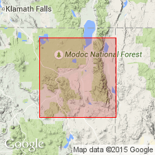
- Modoc Plateau province
Summary:
Present in mountainous areas between Warm Springs Valley and Big Valley, northeast CA. Consists principally of mudflows and tuffs with lesser amounts of basalt flows and interbedded sandstone, conglomerate, and diatomite. Thickness is about 4000 feet. May be correlative with upper part of Cedarville series and Big Valley Mountains volcanic series (new). Probably exists at depths beneath Alturas Basin and Big Valley where it grades upward into lake sediments of Pliocene and Pleistocene age. Is Miocene age.
Source: GNU records (USGS DDS-6; Menlo GNULEX).
For more information, please contact Nancy Stamm, Geologic Names Committee Secretary.
Asterisk (*) indicates published by U.S. Geological Survey authors.
"No current usage" (†) implies that a name has been abandoned or has fallen into disuse. Former usage and, if known, replacement name given in parentheses ( ).
Slash (/) indicates name conflicts with nomenclatural guidelines (CSN, 1933; ACSN, 1961, 1970; NACSN, 1983, 2005, 2021). May be explained within brackets ([ ]).