The National Geologic Map Database is migrating to a new infrastructure. We apologize for any service disruptions during this process.
|
|---|


- Usage in publication:
-
- Turkey Point beds
- Modifications:
-
- Named
- Areal extent
- AAPG geologic province:
-
- Atlantic Coast basin
Summary:
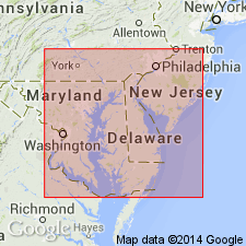
Deposits, here recognized as the Turkey Point beds, unconformably overlie the Perryville and Pensauken Formations across Cecil Co., MD, and possibly most of northern Delmarva. The beds are pebbly, sandy silts interbedded with finely laminated, silty clays, and buried, truncated paleosols. At their type section at Turkey Point, MD, they are composed of three lithofacies. Lithofacies 1 is predominantly a red, tan, and white, cross-stratified, fine to medium sand. Unconformably overlying lithofacies 2 is a wavy-bedded fine sand and silt and laminated silty clay about 2 m thick. Lithofacies 3 is a massive, brown, fine sand and silt approximately 1 to 2 m thick conformably overlying lithofacies 2. No datable material has been found, but relative-age data obtained from soil stratigraphy and morphology and magnetostratigraphy indicate an early Pleistocene age.
Source: GNU records (USGS DDS-6; Reston GNULEX).
- Usage in publication:
-
- Turkey Point beds
- Modifications:
-
- First used
- Dominant lithology:
-
- Sand
- AAPG geologic province:
-
- Atlantic Coast basin
Summary:
Paleo-Chesapeake Bay fluvial-estuarine deposits on Elk Neck Peninsula in MD, similar in texture, depositional environment, and relative stratigraphic position to the Windsor Formation and Walston Silt, are informally called the Turkey Point beds. The base of the Turkey Point retains a reversed magnetic polarity and therefore is not younger than 720 ka. Unit is a feldspathic sublitharenite occurring 18 to 40 m above mean sea level. Unconformably overlies the late Pliocene and early Pleistocene Pensauken Formation.
Source: GNU records (USGS DDS-6; Reston GNULEX).
For more information, please contact Nancy Stamm, Geologic Names Committee Secretary.
Asterisk (*) indicates published by U.S. Geological Survey authors.
"No current usage" (†) implies that a name has been abandoned or has fallen into disuse. Former usage and, if known, replacement name given in parentheses ( ).
Slash (/) indicates name conflicts with nomenclatural guidelines (CSN, 1933; ACSN, 1961, 1970; NACSN, 1983, 2005, 2021). May be explained within brackets ([ ]).