

- Usage in publication:
-
- Turkey Branch Formation
- Modifications:
-
- First used
- Dominant lithology:
-
- Sandstone
- Siltstone
- Shale
- AAPG geologic province:
-
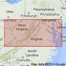
- Piedmont-Blue Ridge province
- Richmond basin
Summary:
Nomenclature in this report follows Ediger and others (in prep). Richmond basin sequence is divided into three formations (ascending): Tuckahoe, Turkey Branch, and Otterdale Formations. Contacts are unconformable. Turkey Branch is divided into (ascending) Hidden and Tomahawk Creek Members [both first used]. Thickness of Turkey Branch approximately 4,000 ft. Age is middle Carnian. Correlates with the upper part of the Doswell Formation in the Taylorsville basin.
Source: GNU records (USGS DDS-6; Reston GNULEX).
For more information, please contact Nancy Stamm, Geologic Names Committee Secretary.
Asterisk (*) indicates published by U.S. Geological Survey authors.
"No current usage" (†) implies that a name has been abandoned or has fallen into disuse. Former usage and, if known, replacement name given in parentheses ( ).
Slash (/) indicates name conflicts with nomenclatural guidelines (CSN, 1933; ACSN, 1961, 1970; NACSN, 1983, 2005, 2021). May be explained within brackets ([ ]).