The National Geologic Map Database is migrating to a new infrastructure. We apologize for any service disruptions during this process.
|
|---|


- Usage in publication:
-
- Tumalo Tuff*
- Modifications:
-
- Named
- Dominant lithology:
-
- Tuff
- AAPG geologic province:
-
- Cascades province
Summary:
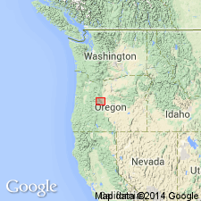
Tumalo Tuff occurs in scattered outcrops and excavations between Awbrey and Overturf Buttes eastward to Deschutes River, central OR. Consists of orange, rhyodacitic, poorly welded tuff. Welded facies of Tumalo Tuff occurs off of Tyler Road. Here pumice fragments as large as 1 ft contain cores of the only fresh, white, nonhydrated glass in this unit. Where Tumalo Tuff overlies Bend Pumice (new), Tumalo Tuff contains a fine-grained white intralayer at its base. Underlies Lava Island Tuff (new). [Name Tumalo Tuff first used by Taylor (1980) in GSA Abstract where lithologic description and age can be found.] Is Pleistocene age.
Source: GNU records (USGS DDS-6; Menlo GNULEX).
For more information, please contact Nancy Stamm, Geologic Names Committee Secretary.
Asterisk (*) indicates published by U.S. Geological Survey authors.
"No current usage" (†) implies that a name has been abandoned or has fallen into disuse. Former usage and, if known, replacement name given in parentheses ( ).
Slash (/) indicates name conflicts with nomenclatural guidelines (CSN, 1933; ACSN, 1961, 1970; NACSN, 1983, 2005, 2021). May be explained within brackets ([ ]).