The National Geologic Map Database is migrating to a new infrastructure. We apologize for any service disruptions during this process.
|
|---|


- Usage in publication:
-
- Tulsa group
- Modifications:
-
- Revised
- AAPG geologic province:
-
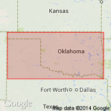
- Chautauqua platform
Summary:
Is a group (1 of 4) of Pennsylvanian rocks of eastern OK. Is seen on the Chautauqua platform. Includes all the rocks between base of Claremore formation (new) and base of the Lenapah limestone (new) of Sapulpa group. Divided into the following formations (ascending order): Claremore formation (new), Labette shales, Oologah formation, and Nowata shales (new). Overlies the Muskogee group and underlies the Sapulpa group. Stratigraphic chart.
Source: GNU records (USGS DDS-6; Denver GNULEX).
For more information, please contact Nancy Stamm, Geologic Names Committee Secretary.
Asterisk (*) indicates published by U.S. Geological Survey authors.
"No current usage" (†) implies that a name has been abandoned or has fallen into disuse. Former usage and, if known, replacement name given in parentheses ( ).
Slash (/) indicates name conflicts with nomenclatural guidelines (CSN, 1933; ACSN, 1961, 1970; NACSN, 1983, 2005, 2021). May be explained within brackets ([ ]).