The National Geologic Map Database is migrating to a new infrastructure. We apologize for any service disruptions during this process.
|
|---|


- Usage in publication:
-
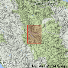
- Tule Creek Granite Complex*
- Modifications:
-
- Original reference
- Dominant lithology:
-
- Granite
- AAPG geologic province:
-
- California Coast Ranges province
Summary:
Tule Creek Granite Complex. Dominantly soda granite but includes areas of abundant granitic and quartz-feldspar porphyry dikes in mafic volcanic rocks and may include soda rhyolite. Texture commonly cataclastic, with mineral grains crushed and strained; rocks generally decomposed and poorly exposed. Areas generally characterized by unusually light-colored soil. [Intrudes Rattlesnake Creek terrane of Paleozoic and Triassic(?) age.] Age is Jurassic or older [Jurassic or Triassic].
Named from exposures in the upper reaches of Tule Creek in northeast corner of Pickett Peak quadrangle, Trinity Co., northeastern CA [= type locality].
Source: Publication; supplemental information (in brackets) from US geologic names lexicon (USGS Bull. 1520, p. 316).
For more information, please contact Nancy Stamm, Geologic Names Committee Secretary.
Asterisk (*) indicates published by U.S. Geological Survey authors.
"No current usage" (†) implies that a name has been abandoned or has fallen into disuse. Former usage and, if known, replacement name given in parentheses ( ).
Slash (/) indicates name conflicts with nomenclatural guidelines (CSN, 1933; ACSN, 1961, 1970; NACSN, 1983, 2005, 2021). May be explained within brackets ([ ]).