The National Geologic Map Database is migrating to a new infrastructure. We apologize for any service disruptions during this process.
|
|---|


- Usage in publication:
-
- Tuktu member*
- Modifications:
-
- Named
- Biostratigraphic dating
- Dominant lithology:
-
- Sandstone
- AAPG geologic province:
-
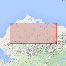
- Alaska Northern region
Summary:
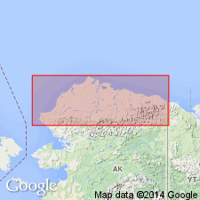
Named as lower member (of 2) of Umiat formation (new) of Nanushuk group. Type locality designated on Chandler River where river cuts through Tuktu Bluff, continuous escarpment that can be traced for many mi, northern AK. Consists almost entirely of marine sandstone at type locality where it is about 1000 ft thick and underlies Hatbox tongue (new) of Chandler formation (new) of Nanushuk group. Northward unit thickens to about 2500 ft and includes part of marine equivalent of Hatbox tongue. Overlies Torok formation (new); underlies Topagoruk member (new) of Umiat formation. Characteristic fossil is Early Cretaceous INOCERAMUS. Age given as Early Cretaceous.
Source: GNU records (USGS DDS-6; Menlo GNULEX).
- Usage in publication:
-
- Tuktu formation*
- Modifications:
-
- Revised
- AAPG geologic province:
-
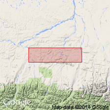
- Alaska Northern region
Summary:
Tuktu member of Gryc and others (1951) raised in rank to Tuktu formation (basal marine formation) of Nanushuk group. Type locality designated as Tuktu Bluff on north side of Chandler River at 68 deg 44'N, 152 deg 18'W. Measured type section at Tuktu Bluff is over 1030 ft thick. Is persistent and mappable unit in northern foothills area. Predominantly dirty green to greenish gray sandstone but siltstone and silt shale form subordinate part. Overlies Torok formation with slight angular discordance. Underlies Killik tongue (new) [formerly now abandoned Hatbox tongue] of Chandler formation. Abundant megafossils indicate middle Albian age (R.W. Imlay, personal commun.).
Source: GNU records (USGS DDS-6; Menlo GNULEX).
- Usage in publication:
-
- Tuktu formation*
- Modifications:
-
- Areal extent
- AAPG geologic province:
-
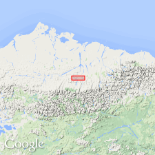
- Alaska Northern region
Summary:
Geographically extended to Grandstand test well No.1 from 1070 to 2650 ft depth where unit is about 75% clay shale and 25% sandstone and siltstone. In Grandstand well, Tuktu, lithologically, more closely resembles Topagoruk formation of Robinson and others (1956) than it does Tuktu formation at its type. These rocks designated Tuktu formation in this well only for continuity with field geology.
Source: GNU records (USGS DDS-6; Menlo GNULEX).
- Usage in publication:
-
- Tuktu Formation*
- Modifications:
-
- Reference
- Biostratigraphic dating
- AAPG geologic province:
-
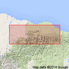
- Alaska Northern region
Summary:
Reference section designated along Arctic Creek, from Lat. 69 deg. 27 min. 30 sec. N. to 69 deg. 30 min. N., Long. 144 deg. 30 min. W. to 144 deg. 34 min. W. Another reference section measured along Sabbath Creek. Diagnostic ammonite PARAGASTROPLITES SPIEKERI (McLearn) indicates middle Albian age (Early Cretaceous). Foraminifers diagnostic of middle and late Albian were collected along Sadlerochit River from Tuktu Formation.
Source: GNU records (USGS DDS-6; Menlo GNULEX).
- Usage in publication:
-
- Tuktu Formation†
- Modifications:
-
- Abandoned
- AAPG geologic province:
-
- Alaska Northern region
Summary:
Pg. 5 (fig. 4), 6-8 (table 1), 12. †Tuktu Formation of Nanushuk Group. Abandoned. Rocks reassigned to unnamed lower part (marine) of Nanushuk Formation (revised). [See Nanushuk.]
Source: Publication.
For more information, please contact Nancy Stamm, Geologic Names Committee Secretary.
Asterisk (*) indicates published by U.S. Geological Survey authors.
"No current usage" (†) implies that a name has been abandoned or has fallen into disuse. Former usage and, if known, replacement name given in parentheses ( ).
Slash (/) indicates name conflicts with nomenclatural guidelines (CSN, 1933; ACSN, 1961, 1970; NACSN, 1983, 2005, 2021). May be explained within brackets ([ ]).