The National Geologic Map Database is migrating to a new infrastructure. We apologize for any service disruptions during this process.
|
|---|


- Usage in publication:
-
- Tuckerton Member
- Modifications:
-
- First used
- AAPG geologic province:
-
- Appalachian basin
Summary:
First used the Tuckerton Member of the Allentown Formation. Unit is lowest member of formation. Consists of gray dolomite to silty dolomite; usually thick bedded with interbedded limestone and particularly prominent cyclic algal and oolite beds near top; some sharpstone conglomerate; beds tend to be more calcareous and shaly toward base, and may be older than otherwise equivalent Conococheague Group. Underlies Muhlenberg Member.
Source: GNU records (USGS DDS-6; Reston GNULEX).
- Usage in publication:
-
- Tuckerton Member
- Modifications:
-
- Named
- Dominant lithology:
-
- Limestone
- Dolomite
- AAPG geologic province:
-
- Appalachian basin
Summary:
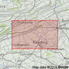
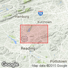
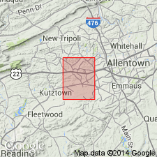
Named as lower member of 3 of the Allentown Formation. The type locality is the village of Tuckerton in the south-central part of the Temple quadrangle, Berks Co., PA. "Predominantly medium-gray and light- to medium-dark-gray, magnesian and calcareous limestone and dolomite in 20-cm to 1-m beds". Calculated to be 150 to 180 m (500 to 600 ft) thick. Conformably overlies the Leithsville Formation; conformably underlies the Muhlenberg Member of the Allentown Formation. Assigned to Late Cambrian.
Source: GNU records (USGS DDS-6; Reston GNULEX).
- Usage in publication:
-
- Tuckerton Member*
- Modifications:
-
- Overview
- AAPG geologic province:
-
- Appalachian basin
Summary:
Adopted as Tuckerton Member of the Allentown Dolomite in southeast Lehigh and Berks Cos., PA. "Medium- to thick-bedded, light- to dark-medium-gray dolomite, magnesian limestone, and limestone. The limy beds typically have silty or shaly partings." Assigned to the Late Cambrian.
Source: GNU records (USGS DDS-6; Reston GNULEX).
For more information, please contact Nancy Stamm, Geologic Names Committee Secretary.
Asterisk (*) indicates published by U.S. Geological Survey authors.
"No current usage" (†) implies that a name has been abandoned or has fallen into disuse. Former usage and, if known, replacement name given in parentheses ( ).
Slash (/) indicates name conflicts with nomenclatural guidelines (CSN, 1933; ACSN, 1961, 1970; NACSN, 1983, 2005, 2021). May be explained within brackets ([ ]).