The National Geologic Map Database is migrating to a new infrastructure. We apologize for any service disruptions during this process.
|
|---|


- Usage in publication:
-
- Truthville Slate Formation
- Truthville Formation
- Modifications:
-
- Principal reference
- Dominant lithology:
-
- Slate
- AAPG geologic province:
-
- New England province
Summary:
Pg. 193 (fig. 2), 194, 204. Truthville Slate Formation (header); Truthville Formation (in text). Soft, well-cleaved, fissile, silty, mica spangled, olive gray-green, tan weathering slate with rare, usually thin (1 to 2 cm) arenites near base. Thickness 20 to 60 m; typically 45 m. Underlies Browns Pond Formation, contact is sharp and marked by distinct color change from gray-green to black. Gradationally overlies Bomoseen Formation, marked by absence of characteristic Bomoseen wacke. No fossils. Age is considered Cambrian(?).
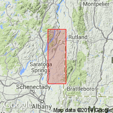
Type locality: along Mettawee River near Truthville, Washington Co., eastern NY. Name credited to L.D. Jacobi [L.L. Delano], 1977, SUNY-Albany MS thesis.
Source: Publication.
For more information, please contact Nancy Stamm, Geologic Names Committee Secretary.
Asterisk (*) indicates published by U.S. Geological Survey authors.
"No current usage" (†) implies that a name has been abandoned or has fallen into disuse. Former usage and, if known, replacement name given in parentheses ( ).
Slash (/) indicates name conflicts with nomenclatural guidelines (CSN, 1933; ACSN, 1961, 1970; NACSN, 1983, 2005, 2021). May be explained within brackets ([ ]).