

- Usage in publication:
-
- Trout Peak Trachyandesite*
- Modifications:
-
- Named
- Dominant lithology:
-
- Lava
- Volcaniclastics
- AAPG geologic province:
-
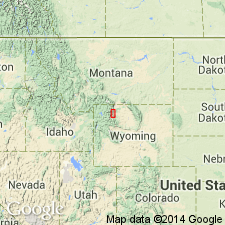
- Bighorn basin
Summary:
Named from exposures on Trout Peak about 10 mi northwest of Wapiti P.O. Type section extends from top of Trout Peak at altitude of 12,244 ft down to 11,400 ft, Park Co, WY in Bighorn basin. Consists of gray lava flows locally interbedded with volcaniclastic rocks. The flows have a maximum of 150 ft in thickness; they are locally columnar jointed; their tops and bottoms are commonly vesicular and brecciated owing to flowage of central part after outer parts solidified. Is about 1,000 ft thick. Has nine to ten flows. Overlies Wapiti Formation (new); underlies Wiggins Formation. Considered to be late Eocene age. Samples from a tuff interbedded with and a dike that cuts rocks thought to be equivalent to rocks assigned to Trout Creek about 20 mi west of report area that yielded dates of 51.3 and 52.6 +/-1.6 m.y. (K-Ar). Distribution map.
Source: GNU records (USGS DDS-6; Denver GNULEX).
- Usage in publication:
-
- Trout Peak Trachyandesite*
- Modifications:
-
- Revised
- Areal extent
- AAPG geologic province:
-
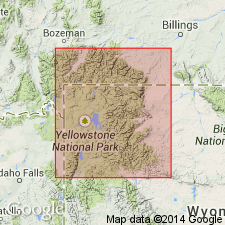
- Yellowstone province
Summary:
Assigned as the upper formation of Sunlight Group (new) of Absaroka Volcanic Supergroup. Is equivalent to the "early basalt flows" of earlier reports. Is well exposed north and west into Yellowstone Park and south of Park in Teton Co, WY in Yellowstone province. Thins south from type and pinches out between Greybull and Wood Rivers. Source was probably in the Sunlight-Crandall region. Overlies and interfingers with Wapiti Formation. Underlies and interfingers with Langford Formation. Is of middle Eocene age.
Source: GNU records (USGS DDS-6; Denver GNULEX).
- Usage in publication:
-
- Trout Peak Trachyandesite
- Modifications:
-
- Areal extent
- AAPG geologic province:
-
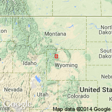
- Bighorn basin
Summary:
Assignment of formation rank to Trout Peak Trachyandesite in southeastern Absaroka Range, Park Co, WY in the Bighorn basin, questioned. Trout Peak present only near its type section. Lava flows of Trout Peak on Carter Mountain cannot be distinguished compositionally from those of the Jim Mountain Member of the Wapiti Formation. Has a radiometric age of 49.2 +/-0.7 m.y. Eocene age.
Source: GNU records (USGS DDS-6; Denver GNULEX).
For more information, please contact Nancy Stamm, Geologic Names Committee Secretary.
Asterisk (*) indicates published by U.S. Geological Survey authors.
"No current usage" (†) implies that a name has been abandoned or has fallen into disuse. Former usage and, if known, replacement name given in parentheses ( ).
Slash (/) indicates name conflicts with nomenclatural guidelines (CSN, 1933; ACSN, 1961, 1970; NACSN, 1983, 2005, 2021). May be explained within brackets ([ ]).