- Usage in publication:
-
- Little Traverse group
- Modifications:
-
- Named
- Dominant lithology:
-
- Limestone
- AAPG geologic province:
-
- Michigan basin
Summary:
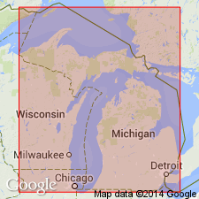
Named Little Traverse group for Little Traverse Bay and Grand Traverse Bay, Southern Peninsula, MI. Consists of a series of thick-bedded magnesian buffish granular limestones underlying the Huron group and overlying the Corniferous group in Lower Peninsula of MI. In general, conforms to Hamilton group of NY. Considered of Middle Devonian age.
Source: GNU records (USGS DDS-6; Reston GNULEX).

- Usage in publication:
-
- /Traverse Formation
- Modifications:
-
- Revised
- AAPG geologic province:
-
- Michigan basin
Summary:
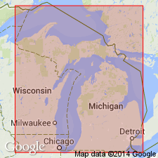
Rocks of Traverse Formation here included in Antrim Formation (revised) and renamed Mud Lake Gray Shale Member. Previously defined Antrim Shale is here raised in rank to Antrim Group and divided into three formations (ascending): Antrim (revised), Ellsworth (revised) , and Sanilac (new) Formations. The Sanilac consists of black shales formerly included within the upper part of the Ellsworth Shale in western MI and upper black shales within the Antrim Shale of eastern MI. Ellsworth Formation (revised) consists of gray shales below the upper black shales of the former Ellsworth in western MI and the gray shales of the "Upper" or "Light" Antrim of eastern MI. The Antrim Formation [of this report] is composed of black and gray shales below the Ellsworth and includes the previously known Traverse Formation. Antrim Formation is subdivided into (ascending) Mud Lake Gray Shale Member (Traverse Formation), Charlton Black Shale Member (lower black shale), Crapo Creek Gray Shale Member (middle gray shale), and Chester Black Shale Member (upper black shale). [Usage of the Antrim in this proposal is in violation of the NACSN, Art. 19(g), and is not recommended.]
Source: GNU records (USGS DDS-6; Reston GNULEX).

- Usage in publication:
-
- Traverse Group*
- Modifications:
-
- Revised
- Age modified
- AAPG geologic province:
-
- Michigan basin
Summary:
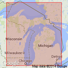
Age of the Traverse Group in the Michigan Basin is changed from Middle and Late Devonian to Middle Devonian only. The upper unit of the Traverse, the Squaw Bay Limestone [See Note Below], is removed from the Traverse and its age is changed from Late Devonian to Middle and Late Devonian, spanning the Middle-Upper Devonian boundary. Squaw Bay lies between the Thunder Bay Limestone of Traverse Group and the Antrim Shale.
[NOTE: In accordance with Department of Interior's Secretarial Order 3404, discontinuing use of derogatory term squaw, the Squaw Bay Limestone is in process of being formally renamed Birdsong Bay Limestone (RESERVED). The geographic feature Squaw Bay, from which the geologic name was taken (Warthin and Cooper, 1935), was renamed Birdsong Bay by U.S. Board on Geographic Names, September 2022, USGS GNIS FeatureID 638662.]
Source: GNU records (USGS DDS-6; Reston GNULEX).
For more information, please contact Nancy Stamm, Geologic Names Committee Secretary.
Asterisk (*) indicates published by U.S. Geological Survey authors.
"No current usage" (†) implies that a name has been abandoned or has fallen into disuse. Former usage and, if known, replacement name given in parentheses ( ).
Slash (/) indicates name conflicts with nomenclatural guidelines (CSN, 1933; ACSN, 1961, 1970; NACSN, 1983, 2005, 2021). May be explained within brackets ([ ]).

