The National Geologic Map Database is migrating to a new infrastructure. We apologize for any service disruptions during this process.
|
|---|


- Usage in publication:
-
- Trail Ridge Member*
- Modifications:
-
- Named
- Dominant lithology:
-
- Tuff
- AAPG geologic province:
-
- Great Basin province
Summary:
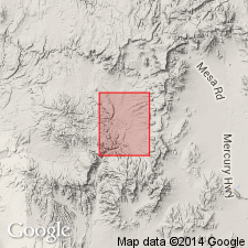
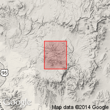
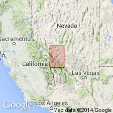
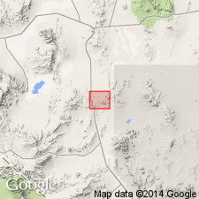
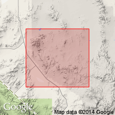
Named as a member (1 of 6) of Thirsty Canyon Tuff (new). Overlies Spearhead Member--a formation of Ransome, 1909, reduced to member of Thirsty Canyon. Paraconformably overlain by Gold Flat Member (new) of Thirsty Canyon. Type locality is north of Black Mountain, about 7 mi west of Trail Ridge, lat 37 deg 21' N, long 116 deg 39' W, Nye Co, NV in the Great Basin province. Consists of lithic-rich, moderately to densely welded ash-flow tuff. Has a basal air-fall pumice bed 5 to locally 30 ft thick. Capped by thin densely welded shard tuff with very few pumice fragments or lithic inclusions and a few phenocrysts. In northern exposures lithic-rich part is absent, and member is entirely a shard tuff. Member is about 100 ft thick at type. Locally is almost 200 ft thick. Is coextensive with Spearhead Member. Pliocene age.
Source: GNU records (USGS DDS-6; Denver GNULEX).
- Usage in publication:
-
- Trail Ridge Member*
- Modifications:
-
- Mapped
- AAPG geologic province:
-
- Great Basin province
Summary:
Mapped in Buckboard Mesa 7.5' quad, Nye Co., NV where simple cooling unit consists of poorly welded to non-welded ash-flow tuff. Locally includes pebbly tuffaceous sandstone at base. Overlies the Spearhead Member. Underlies Quaternary alluvium and talus. Interfingers with and underlies Tertiary fan gravel and tuffaceous deposits. Age is Pliocene.
Source: GNU records (USGS DDS-6; Menlo GNULEX).
- Usage in publication:
-
- Trail Ridge Member*
- Modifications:
-
- Mapped
- AAPG geologic province:
-
- Great Basin province
Summary:
Mapped in Timber Mountain 7.5' quad, Nye Co., NV where is as thick as 100 ft. Overlies the Spearhead Member; underlies Quaternary alluvium. Interlayered with Tertiary gravels and tuffaceous deposits. Age is Pliocene.
Source: GNU records (USGS DDS-6; Menlo GNULEX).
- Usage in publication:
-
- Trail Ridge Member*
- Modifications:
-
- Areal extent
- AAPG geologic province:
-
- Great Basin province
Summary:
Western limit of the Spearhead Member and the Trail Ridge Member(?) recognized in Slate Range, southern Esmeralda Co., NV [Trail Ridge Member not distinguished on accompanying map].
Source: GNU records (USGS DDS-6; Menlo GNULEX).
- Usage in publication:
-
- Trail Ridge Member*
- Modifications:
-
- Geochronologic dating
- AAPG geologic province:
-
- Great Basin province
Summary:
Both the Trail Ridge and Spearhead Members composed of welded soda rhyolite ash-flow sheets erupted about 7 Ma (Kistler, 1968; Armstrong and others, 1972). [Revised from Pliocene to Miocene or Pliocene based on proximity of K-Ar age to age of Miocene-Pliocene boundary]
Source: GNU records (USGS DDS-6; Menlo GNULEX).
- Usage in publication:
-
- Trail Ridge Member*
- Modifications:
-
- Revised
- AAPG geologic province:
-
- Great Basin province
Summary:
Is one of five members of the Thirsty Canyon Tuff derived from the Black Mountain volcanic center, Nye Co, NV in the Great Basin province. Thirsty Canyon divided into (ascending): Rocket Wash, Pahute Mesa (new), Trail Ridge, and Gold Flat Members, and the upper member. Stratigraphic table. Of late Miocene age.
Source: GNU records (USGS DDS-6; Denver GNULEX).
- Usage in publication:
-
- Trail Ridge Tuff*
- Modifications:
-
- Revised
- AAPG geologic province:
-
- Great Basin province
Summary:
Within southwest Nevada volcanic field, Nye Co, NV, Great Basin province, units previously of formation rank are raised to group rank to allow for combining petrographically, geochemically, and temporally related lava flows and nonwelded tuffs with the principal correlative welded ash-flow tuff sheets (formerly members of the previous formation-rank tuffs). The ash-flow sheets are raised to formation rank and designated as "Tuff." Trail Ridge is one of four formally named formations of Thirsty Canyon Group (rank raised). Younger than Pahute Mesa Tuff (rank raised) of Thirsty Canyon; older than Gold Flat Tuff (rank raised) of Thirsty Canyon. [Thirsty Canyon also consists of informal units not discussed in this report.] Nomenclature shown on table 1. Miocene age.
Source: GNU records (USGS DDS-6; Denver GNULEX).
For more information, please contact Nancy Stamm, Geologic Names Committee Secretary.
Asterisk (*) indicates published by U.S. Geological Survey authors.
"No current usage" (†) implies that a name has been abandoned or has fallen into disuse. Former usage and, if known, replacement name given in parentheses ( ).
Slash (/) indicates name conflicts with nomenclatural guidelines (CSN, 1933; ACSN, 1961, 1970; NACSN, 1983, 2005, 2021). May be explained within brackets ([ ]).