The National Geologic Map Database is migrating to a new infrastructure. We apologize for any service disruptions during this process.
|
|---|


- Usage in publication:
-
- Torchlight sandstone member
- Modifications:
-
- Named
- Dominant lithology:
-
- Sandstone
- AAPG geologic province:
-
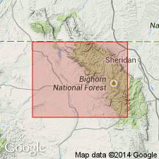
- Bighorn basin
Summary:
Name applied to the highest member (of four) of Benton shale of Colorado group. Named for Torchlight dome, Bighorn Co., WY, Bighorn basin, where member is well exposed on both sides of deep gulch that cuts center of dome. No type locality designated. Has hard resistant layers. Makes prominent escarpment. No fossils found. Consists of gray to white saccharoidal sandstone, cross-bedded, capped by poorly cemented layer of black and gray pebbles. Varies from crumbly to well indurated. Has been designated the "B" sandstone. Overlies the "Upper Benton shale member." Underlies lower conglomerate of Basin shale (first used) of Colorado group. Torchlight Basin contact is an erosion surface. Geologic map; member not separately mapped. Stratigraphic table. Of Late Cretaceous age.
Source: GNU records (USGS DDS-6; Denver GNULEX).
For more information, please contact Nancy Stamm, Geologic Names Committee Secretary.
Asterisk (*) indicates published by U.S. Geological Survey authors.
"No current usage" (†) implies that a name has been abandoned or has fallen into disuse. Former usage and, if known, replacement name given in parentheses ( ).
Slash (/) indicates name conflicts with nomenclatural guidelines (CSN, 1933; ACSN, 1961, 1970; NACSN, 1983, 2005, 2021). May be explained within brackets ([ ]).