The National Geologic Map Database is migrating to a new infrastructure. We apologize for any service disruptions during this process.
|
|---|


- Usage in publication:
-
- Topsy Formation*
- Modifications:
-
- Named
- Dominant lithology:
-
- Siltstone
- Sandstone
- AAPG geologic province:
-
- Alaska Southeastern region
Summary:
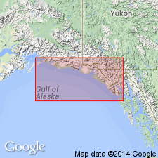
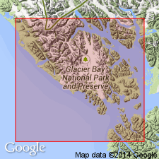
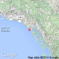
Type locality designated along upper Topsy Creek, 7 mi southeast of mouth of Lituya Bay, southeastern AK. Is sparsely fossiliferous marine unit consisting of about 1200 ft of hard calcareous siltstone and sandstone. Intertongues with and in part unconformably overlies Cenotaph Volcanics (new). Base is not exposed. Conformably(?) underlies Yakataga Formation. Shown on map of Gulf of Alaska undivided with part of Cenotaph Volcanics. Tentatively assigned post-early Oligocene(?) to pre-middle Miocene age.
Source: GNU records (USGS DDS-6; Menlo GNULEX).
- Usage in publication:
-
- Topsy Formation*
- Modifications:
-
- Age modified
- Biostratigraphic dating
- AAPG geologic province:
-
- Alaska Southeastern region
Summary:
Age of Topsy Formation is early Miocene ("Temblor") on basis of 22 taxa of mollusks and 1 fish vertebra identified by L.N. Marincovich.
Source: GNU records (USGS DDS-6; Menlo GNULEX).
- Usage in publication:
-
- Topsy Formation*
- Modifications:
-
- Age modified
- Biostratigraphic dating
- AAPG geologic province:
-
- Alaska Southeastern region
Summary:
Shown on geologic sketch map of Gulf of Alaska. Unit age is late early Miocene to early middle Miocene based on faunal assignment to Newportian Stage.
Source: GNU records (USGS DDS-6; Menlo GNULEX).
For more information, please contact Nancy Stamm, Geologic Names Committee Secretary.
Asterisk (*) indicates published by U.S. Geological Survey authors.
"No current usage" (†) implies that a name has been abandoned or has fallen into disuse. Former usage and, if known, replacement name given in parentheses ( ).
Slash (/) indicates name conflicts with nomenclatural guidelines (CSN, 1933; ACSN, 1961, 1970; NACSN, 1983, 2005, 2021). May be explained within brackets ([ ]).