

- Usage in publication:
-
- Tonti Member
- Modifications:
-
- Original reference
- Dominant lithology:
-
- Sandstone
- AAPG geologic province:
-
- Wisconsin arch
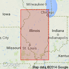
Summary:
Pg. 13, 36, 45-46, 225. Tonti Member of St. Peter Sandstone. Chiefly fine-grained, well-sorted, friable sandstone. Medium- to coarse-grained beds occur locally. Thickness 100 to 200 feet in northern Illinois. Overlies Kress Member (new); underlies Starved Rock Sandstone Member (new); in some areas underlies Kingdom Sandstone Member of Glenwood Formation or Augusta Member (new) of Joachim Formation. Most widely distributed member of the St. Peter and present throughout entire area of the formation. Tonti Sandstone Member previously called lower fine-grained unit of St. Peter. Age is Middle Ordovician (Champlainian).
Type section: exposures at Starved Rock, Lovers' Leap, and French Canyon, in W/2 NW/4 and NW/4 NW/4 SW/4 sec. 22, T. 33 N., R. 2 E., Ottawa quadrangle, Starved Rock State Park, LaSalle Co., IL. Named from Tonti Canyon in Starved Rock State Park.
Source: US geologic names lexicon (USGS Bull. 1350, p. 766); supplemental information from GNU records (USGS DDS-6; Reston GNULEX).
- Usage in publication:
-
- Tonti Member
- Modifications:
-
- Areal extent
- AAPG geologic province:
-
- Wisconsin arch
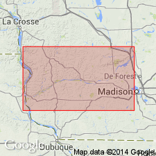
Summary:
Tonti Member of St. Peter Sandstone geographically extended into southwestern WI. At stop 13 (3.5 mi north of New Glarus), Tonti is 80 ft thick. Underlies Glenwood Member. Base of exposure at road level.
Source: GNU records (USGS DDS-6; Reston GNULEX).
- Usage in publication:
-
- Tonti Member
- Modifications:
-
- Overview
- Dominant lithology:
-
- Sandstone
- AAPG geologic province:
-
- Wisconsin arch
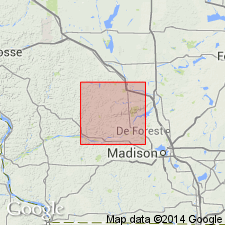
Summary:
In Sauk Co., WI, St. Peter Formation has two recognizable subdivisions: the lower Readstown Member and the upper Tonti Member. Tonti Member makes up most of the St. Peter in the report area. Consists several meters of fine to medium sand, largely quartz, noncalcareous, nondolomitic, and nonglauconitic. Many grains covered with faceted quartz overgrowths creating "sparkly" outcrop surface. Sandstone ranges from very pale brown to yellowish red when fresh. St. Peter Formation overlies Oneota Formation and underlies Rountree Formation (new name) or Horicon Formation. Age is Middle Ordovician.
Source: GNU records (USGS DDS-6; Reston GNULEX).
For more information, please contact Nancy Stamm, Geologic Names Committee Secretary.
Asterisk (*) indicates published by U.S. Geological Survey authors.
"No current usage" (†) implies that a name has been abandoned or has fallen into disuse. Former usage and, if known, replacement name given in parentheses ( ).
Slash (/) indicates name conflicts with nomenclatural guidelines (CSN, 1933; ACSN, 1961, 1970; NACSN, 1983, 2005, 2021). May be explained within brackets ([ ]).