- Usage in publication:
-
- Tonoloway limestone*
- Modifications:
-
- Named
- Dominant lithology:
-
- Limestone
- AAPG geologic province:
-
- Appalachian basin
Summary:
Named the Tonoloway limestone on plate 28 for Tonoloway Ridge, Washington Co., MD. Unit only shows up on plate 28 as overlying the Wills Creek formation and underlying the Bossardville limestone in the PA, MD, and VA region. The Tonoloway is of Silurian age.
Source: GNU records (USGS DDS-6; Reston GNULEX).

- Usage in publication:
-
- Tonoloway Formation
- Modifications:
-
- Overview
- AAPG geologic province:
-
- Appalachian basin
Summary:
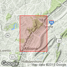
Authors state that unit was named for an interval of distinctively laminated limestone between the Wills Creek shale and the Keyser nodular limestone exposed on the east flank of Tonoloway Ridge in Morgan Co., WV. The Tonoloway extends from east-central PA to eastern WV. The basal 50 m consists of medium-dark-gray laminated to thin-bedded calcisiltite with shale partings and interbeds. Overlying 5 m are light-yellowish-gray to olive-gray mudstone and shale. Above this interval are 75 m of laminated calcisiltite with interbeds of thick to very thick bedded calcisiltite. The remainder of the formation is cyclic, consisting of three or four resistant ledges of laminated limestone and shale. Uppermost 20 m contains a variety of limestones. Lower contact with the Wills Creek is probably conformable. Upper contact is conformable and undulatory, occurring at the base of the "calico" limestone of the Keyser Formation. Total thickness calculated form dip and map-pattern widths is 250+/-20 m. Best exposure in the study area is along the Little Juniata River, 2 km northeast of Bellwood.
Source: GNU records (USGS DDS-6; Reston GNULEX).

- Usage in publication:
-
- Tonoloway Limestone*
- Modifications:
-
- Biostratigraphic dating
- AAPG geologic province:
-
- Appalachian basin
Summary:
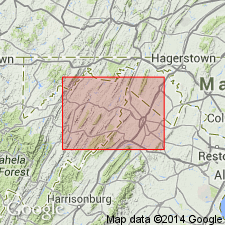
Conodont biostratigraphy indicates that the Tonoloway Limestone in the Winchester 30 X 60 minute quadrangle is of Late Silurian (late Ludlovian and Pridolian) age. Conodonts indicative of the Lower O. REMSCHEIDENSIS Subzone were recovered from the lower member, the H. PENICULUS Zone from the middle member, and the O. REMSCHEIDENSIS Zone from the upper member. The Ludlovian-Pridolian boundary appears to coincide with the boundary between the lower and middle members of the unit.
Source: GNU records (USGS DDS-6; Reston GNULEX).
For more information, please contact Nancy Stamm, Geologic Names Committee Secretary.
Asterisk (*) indicates published by U.S. Geological Survey authors.
"No current usage" (†) implies that a name has been abandoned or has fallen into disuse. Former usage and, if known, replacement name given in parentheses ( ).
Slash (/) indicates name conflicts with nomenclatural guidelines (CSN, 1933; ACSN, 1961, 1970; NACSN, 1983, 2005, 2021). May be explained within brackets ([ ]).

