The National Geologic Map Database is migrating to a new infrastructure. We apologize for any service disruptions during this process.
|
|---|


- Usage in publication:
-
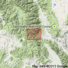
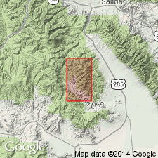
- Tomichi limestone
- Modifications:
-
- Named
- Dominant lithology:
-
- Limestone
- Quartzite
- AAPG geologic province:
-
- Piceance basin
Summary:
Named for the Tomichi district, Ts49 and 50N, R5E, Gunnison Co, CO in the Piceance basin. No type locality designated. Geologic map. Section measured east of Garfield described where 382 ft of thick- to thin-bedded, bluish-gray limestone that may be cherty to noncherty, dolomitic, interbedded with thick-bedded bluish quartzite in upper part. Overlies unconformably Sawatch quartzite or, where Sawatch absent, pre-Cambrian granite. Underlies Ouray limestone. Divided into: 1) a lower part of limestone that ranges from 235 to 260 ft, contains dark gray chert as nodules and locally as a continuous band; 2) the overlying quartzite has a local name "parting quartzite," and ranges from 20 to 38 ft thick; shale as beds or lenses about 2 ft thick lie between quartzite beds; and 3) a 100 ft thick non-cherty gray limestone lies at top in measured section east of Garfield. Most of the formation deposited in clear water at considerable depth. Quartzite probably deposited in shallow water near-shore. Cephalopod and coral fossils. Fossils from lower and upper limestone indicate Middle Ordovician age.
Source: GNU records (USGS DDS-6; Denver GNULEX).
- Usage in publication:
-
- Tomichi limestone*
- Modifications:
-
- Overview
- Areal extent
- AAPG geologic province:
-
- San Luis basin
Summary:
Is the oldest (Ordovician) unit resting on the eroded surface of the pre-Cambrian; extended into the Kerber Creek area, Saguache Co, CO, San Luis basin, from Gunnison Co, CO in the Piceance basin. Mapped (geologic map) in the vicinity of Kerber and Little Kerber Creeks. Columnar sections. Underlies the Devonian Chaffee formation. Divided into: 1) lower limestone member, a 90-200 ft thick, thin-bedded, gray crystalline limestone that has gray or white chert in bands 1 to 6 inches thick at base; 2) quartzite member, a 60-90 ft thick gray quartz with fine to coarse quartz veins; and 3) upper limestone member about 300 ft thick of gray crystalline dolomitic, fossiliferous limestone. Fossils listed (crinoids, sponge, fish fragments, brachiopods, etc). Of Ordovician age.
Source: GNU records (USGS DDS-6; Denver GNULEX).
For more information, please contact Nancy Stamm, Geologic Names Committee Secretary.
Asterisk (*) indicates published by U.S. Geological Survey authors.
"No current usage" (†) implies that a name has been abandoned or has fallen into disuse. Former usage and, if known, replacement name given in parentheses ( ).
Slash (/) indicates name conflicts with nomenclatural guidelines (CSN, 1933; ACSN, 1961, 1970; NACSN, 1983, 2005, 2021). May be explained within brackets ([ ]).