

- Usage in publication:
-
- Tom Mays Park Formation
- Modifications:
-
- Named
- Dominant lithology:
-
- Ignimbrite
- AAPG geologic province:
-
- Southwestern Basin-and-Range region
Summary:
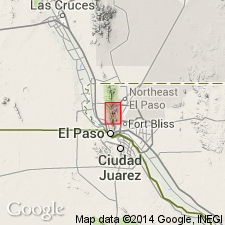
Named as uppermost of three formations of Thunderbird Group (rank raised). Probably named for memorial park in southern Franklin Mountains, El Paso Co, TX. Type locality is about 3000 ft northeast of Smugglers Pass in Fusselman Canyon, lat 31 deg 53' 06" and long 106 deg 29' 34", El Paso Co. Outcrops in area of Tom Mays Memorial Park south to McKelligon Canyon in southern Franklin Mountains, Southwestern Basin-and-Range region. Consists of rhyolitic ignimbrite. Maximum thickness is 550 ft. Overlies Smugglers Pass Formation (new) of Thunderbird. [Contact relationship not discussed]. Erosional surface at top of unit. [Overlying Phanerozoic units not discussed]. Contact metamorphism resulted from intrusion by Red Bluff Granite. Geologic map. Geochemistry. Stratigraphic column. Correlative to volcanics located at Pump Station Hills, Hudspeth Co, TX about 70 mi east of El Paso. Late Precambrian age (950 m.y. old).
Source: GNU records (USGS DDS-6; Denver GNULEX).
For more information, please contact Nancy Stamm, Geologic Names Committee Secretary.
Asterisk (*) indicates published by U.S. Geological Survey authors.
"No current usage" (†) implies that a name has been abandoned or has fallen into disuse. Former usage and, if known, replacement name given in parentheses ( ).
Slash (/) indicates name conflicts with nomenclatural guidelines (CSN, 1933; ACSN, 1961, 1970; NACSN, 1983, 2005, 2021). May be explained within brackets ([ ]).