The National Geologic Map Database is migrating to a new infrastructure. We apologize for any service disruptions during this process.
|
|---|


- Usage in publication:
-
- Tokun formation*
- Modifications:
-
- Original reference
- Dominant lithology:
-
- Shale
- Sandstone
- AAPG geologic province:
-
- Alaska Southern region
Summary:
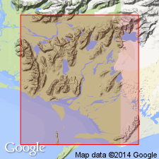
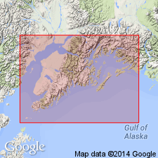
Pg. 24, 35. Tokun formation. Lower 2,000+/- feet chiefly sandy shales; upper 500 feet a bed of sandstone. Conformably overlies Kushtaka formation, the transition apparently representing a change from fresh-water to marine conditions. The Tokun outcrops on both shores of Lake Tukon, Controller Bay region, southeastern Alaska. [Gives area of occurrence, detailed section, fossils, etc.] Age is Tertiary (probably Miocene).
Source: US geologic names lexicon (USGS Bull. 896, p. 2159).
- Usage in publication:
-
- Tokun formation
- Modifications:
-
- Not used
- AAPG geologic province:
-
- Alaska Southern region
Summary:
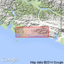
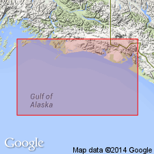
Pg. 771. Tokun formation, which occurs north of Bering Lake, closely resembles lower part of Katalla formation to south of Bering Lake. Martin thought Katalla formation was older than Stillwater and Tokun formations, but writer suggests Tokun formation is = lower part of Katalla formation, which he has named Split Creek member, and that this is underlain by Kushtaka formation. Katalla formation is here assigned to upper Oligocene, on basis of lithologic similarity to fossiliferous beds in Yakataga district that are assigned to upper Oligocene by B.L. Clark.
Source: US geologic names lexicon (USGS Bull. 896, p. 2159).
- Usage in publication:
-
- Tokun Formation*
- Modifications:
-
- Revised
- Age modified
- AAPG geologic province:
-
- Alaska Southern region
Summary:
Tokun Formation of Martin (1908) is here restricted to predominantly silty beds below basal sandstone member of Katalla Formation (redefined). Age given as Eocene and Oligocene in correlation chart.
Source: GNU records (USGS DDS-6; Menlo GNULEX).
- Usage in publication:
-
- Tokun Formation*
- Modifications:
-
- Revised
- Age modified
- Biostratigraphic dating
- AAPG geologic province:
-
- Alaska Southern region
Summary:
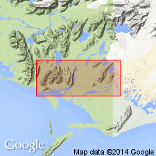
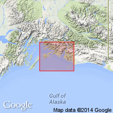
Tokun Formation of Martin (1908) is restricted to his lower part consisting predominantly of concretionary siltstone with lesser and variable amount of interbedded sandstone. Martin's (1908) upper sandstone unit is assigned to Split Creek Member of Katalla Formation. In map area of central part of Katalla district, Tokun is 1080 to 3500 ft thick. Lower contact not exposed. Crabs predominate in fossil collections which also include mollusks and foraminifers with few pyritized diatoms. Age is late Eocene and early Oligocene.
Source: GNU records (USGS DDS-6; Menlo GNULEX).
- Usage in publication:
-
- Tokun Formation*
- Modifications:
-
- Age modified
- AAPG geologic province:
-
- Alaska Southern region
Summary:
Age of Tokun Formation given as Eocene as penetrated in Middleton Island well and on Kayak Island in this report. [overall age not changed]
Source: GNU records (USGS DDS-6; Menlo GNULEX).
- Usage in publication:
-
- Tokun Formation*
- Modifications:
-
- Biostratigraphic dating
- AAPG geologic province:
-
- Alaska Southern region
Summary:
Age of Tokun Formation given as Narizian Stage (Late Eocene) in Middleton Island #1 well and in Wingham Island section based on foraminifers. Species list included in report. [overall age not changed]
Source: GNU records (USGS DDS-6; Menlo GNULEX).
- Usage in publication:
-
- Tokun Formation*
- Modifications:
-
- Age modified
- AAPG geologic province:
-
- Alaska Southern region
Summary:
Age of Tokun Formation is revised to Eocene on the basis of fossil evidence.
Source: GNU records (USGS DDS-6; Menlo GNULEX).
For more information, please contact Nancy Stamm, Geologic Names Committee Secretary.
Asterisk (*) indicates published by U.S. Geological Survey authors.
"No current usage" (†) implies that a name has been abandoned or has fallen into disuse. Former usage and, if known, replacement name given in parentheses ( ).
Slash (/) indicates name conflicts with nomenclatural guidelines (CSN, 1933; ACSN, 1961, 1970; NACSN, 1983, 2005, 2021). May be explained within brackets ([ ]).