- Usage in publication:
-
- Toby conglomerate
- Modifications:
-
- Named
- Dominant lithology:
-
- Conglomerate
Summary:
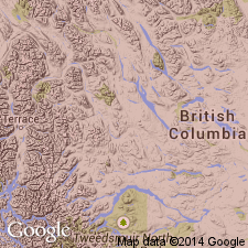
Named as lower formation of Windermere series for Toby Creek, Windermere area, B.C., CN. No type locality designated. Geologic map. Occurs as northwest-trending belt across the map area. Varies in thickness from 50 to 2,000 ft. Unconformably overlies Mount Nelson formation (new) of Purcell series [= Belt Series in US (Wilmarth, 1938, US geologic names lexicon, USGS Bull. 896, p. 1746)], and underlies Horsethief formation (new), upper formation of Windermere. The matrix of Toby is largely slate with scattered fragments of shale and occasional boulders of limestone and quartzite derived from the underlying Purcell. The percentage of boulders to matrix varies from 5 to 10 percent of the rock to a boulder mass. The boulders and other fragments vary from 4 to 10 ft as an average to as much as 4 to 5 ft in size. Many of the boulders are rounded but many are angular and subangular, indicating that they were not transported far, perhaps as part of a fanglomerate deposit. Of Precambrian age.
Source: GNU records (USGS DDS-6; Denver GNULEX).
For more information, please contact Nancy Stamm, Geologic Names Committee Secretary.
Asterisk (*) indicates published by U.S. Geological Survey authors.
"No current usage" (†) implies that a name has been abandoned or has fallen into disuse. Former usage and, if known, replacement name given in parentheses ( ).
Slash (/) indicates name conflicts with nomenclatural guidelines (CSN, 1933; ACSN, 1961, 1970; NACSN, 1983, 2005, 2021). May be explained within brackets ([ ]).

