The National Geologic Map Database is migrating to a new infrastructure. We apologize for any service disruptions during this process.
|
|---|


- Usage in publication:
-
- Tobacco Road Sand
- Modifications:
-
- Named
- Dominant lithology:
-
- Sand
- AAPG geologic province:
-
- South Georgia sedimentary province
Summary:
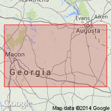
Tobacco Road Sand, here named in Richmond Co., GA, consists of sand with minor chert and limestone. Unit is greenish-gray, and weathers red. Thickness is 8.5 m at the type locality and ranges from 3 to 8.5 m elsewhere. Described as medium- to coarse-grained, fossiliferous, coastal marine deposits. Includes Sandersville Limestone Member at base. Gradationally or disconformably overlies Irwinton Sand or Twiggs Clay; disconformably underlies Hawthorn(?) Formation or undivided Tertiary and Quaternary deposits. Unit was former unnamed upper sand member of Barnwell Formation. Age is late Eocene.
Source: GNU records (USGS DDS-6; Reston GNULEX).
- Usage in publication:
-
- Tobacco Road Sand
- Modifications:
-
- Revised
- Areal extent
- AAPG geologic province:
-
- South Georgia sedimentary province
- Atlantic Coast basin
Summary:
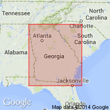
Tobacco Road Sand assigned to Barnwell Group. Extended into South Carolina.
Source: GNU records (USGS DDS-6; Reston GNULEX).
- Usage in publication:
-
- Tobacco Road Sand*
- Modifications:
-
- Age modified
- AAPG geologic province:
-
- South Georgia sedimentary province
Summary:
Nomenclature follows Huddlestun and Hetrick (1978). Tobacco Road Sand is a maximum of 18 m thick. Underlies unnamed surface deposits and overlies Irwinton Sand Member of Barnwell Formation. Age is modified to late Eocene and Oligocene based on downdip fossils.
Source: GNU records (USGS DDS-6; Reston GNULEX).
- Usage in publication:
-
- Tobacco Road Sand*
- Modifications:
-
- Mapped 1:100k
- Dominant lithology:
-
- Sand
- Gravel
- AAPG geologic province:
-
- Atlantic Coast basin
Summary:
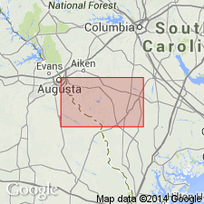
Pg. 10-11, 14, 21, geol. map. Tobacco Road Sand, upper formation of Barnwell Group (see Huddlestun and Hetrick, 1978). Slightly to moderately burrowed in the coarser-grained beds, and heavily bioturbated in the finer, better-sorted beds. Cross-bedded ovoid-shaped gravel layer at base suggests a high-energy, shallow marine, probably shoreface depositional environment. Overlies Dry Branch Formation of Barnwell; underlies "Upland unit." Age is considered late Eocene; age undetermined from study area.
Type section stated to be about 1 mi east of junction of Tobacco Road and U.S. Route 1 near Augusta, GA [a few mi west of quadrangle bdry., approx. Lat. 33 deg. 23 min. 36 sec. N., Long. 82 deg. 06 min. 00 sec. W.].
Source: Publication.
For more information, please contact Nancy Stamm, Geologic Names Committee Secretary.
Asterisk (*) indicates published by U.S. Geological Survey authors.
"No current usage" (†) implies that a name has been abandoned or has fallen into disuse. Former usage and, if known, replacement name given in parentheses ( ).
Slash (/) indicates name conflicts with nomenclatural guidelines (CSN, 1933; ACSN, 1961, 1970; NACSN, 1983, 2005, 2021). May be explained within brackets ([ ]).