The National Geologic Map Database is migrating to a new infrastructure. We apologize for any service disruptions during this process.
|
|---|


- Usage in publication:
-
- Tintic andesite*
- Modifications:
-
- First used
- Dominant lithology:
-
- Andesite
- AAPG geologic province:
-
- Great Basin province
Summary:
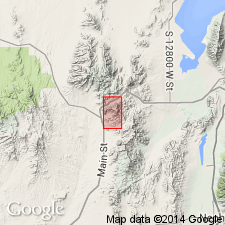
First published use as a name applied to all andesitic lavas (also called latite) in area. Shown as a map unit name on the geologic map along southeast side of quad, Juab Co, UT in the Great Basin province. Composed of andesite flows and sheets characterized by higher percentage of alkali than lime. Extends northeast. Erupted from at least two vents; the gray rock probably from one vent and the dark purple from another. Intent to name, source of geographic name [probably the Tintic district], and type locality not stated. Petrographic and chemical descriptions. Shown in an intermediate position between Packard rhyolite (first used) beneath [?] and Sunbeam monzonite (first used) above [?]. Of Tertiary age.
Source: GNU records (USGS DDS-6; Denver GNULEX).
For more information, please contact Nancy Stamm, Geologic Names Committee Secretary.
Asterisk (*) indicates published by U.S. Geological Survey authors.
"No current usage" (†) implies that a name has been abandoned or has fallen into disuse. Former usage and, if known, replacement name given in parentheses ( ).
Slash (/) indicates name conflicts with nomenclatural guidelines (CSN, 1933; ACSN, 1961, 1970; NACSN, 1983, 2005, 2021). May be explained within brackets ([ ]).