

- Usage in publication:
-
- Tintic Mountain Volcanic Group*
- Modifications:
-
- Named
- Dominant lithology:
-
- Latite
- AAPG geologic province:
-
- Great Basin province
- Wasatch uplift
Summary:
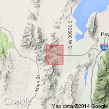
Named after its type locality, where it is thickest and shows the greatest lithologic diversity--the lower western slopes of Tintic Mountain, 10 mi south of Dividend, Utah and Juab Cos, UT in Great Basin province and on Wasatch uplift. Divided into three volcanic formations (ascending): Copperopolis, Latite Ridge, and Big Canyon Latites (all new). All are of similar mineralogic composition, but each represents a distinctive eruptive cycle separated from succeeding cycle by a period of volcanic quiescence. Although the three latite units extend into the southern part of the East Tintic district, their eruptive center is believed to be near type locality. Is of middle Oligocene age. Geologic map, measured sections, stratigraphic chart.
Source: GNU records (USGS DDS-6; Denver GNULEX).
For more information, please contact Nancy Stamm, Geologic Names Committee Secretary.
Asterisk (*) indicates published by U.S. Geological Survey authors.
"No current usage" (†) implies that a name has been abandoned or has fallen into disuse. Former usage and, if known, replacement name given in parentheses ( ).
Slash (/) indicates name conflicts with nomenclatural guidelines (CSN, 1933; ACSN, 1961, 1970; NACSN, 1983, 2005, 2021). May be explained within brackets ([ ]).