

- Usage in publication:
-
- Tims Peak Basalt
- Modifications:
-
- Named
- Dominant lithology:
-
- Basalt
- AAPG geologic province:
-
- Snake River basin
Summary:
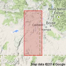
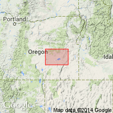
Named for ophitic clinopyroxene basalt exposed at type locality near Tims Peak, SE/4 sec.34 T21S R40E, Malheur Co, OR. Forms prominent plateau in northern part of Monument Peak district; also occurs in Malheur Gorge district. Thickness is 10 to 250 ft as one or several flow units. Overlies Butte Creek Volcanic Sandstone (new); underlies Wildcat Creek Welded Ash-Flow Tuff (new) or Junction Formation. Correlation chart shows age to be Pliocene (Clarendonian).
Source: GNU records (USGS DDS-6; Menlo GNULEX).
- Usage in publication:
-
- Tims Peak Basalt*
- Modifications:
-
- Adopted
- Age modified
- AAPG geologic province:
-
- Snake River basin
Summary:
Mapped in northeast corner of Burns 1x2 deg quad, OR. Is medium- to dark-gray, fine-grained and diktytaxitic basalt. Maximum thickness is 400 ft. Overlies Hunter Creek Basalt. Age is Miocene and Pliocene.
Source: GNU records (USGS DDS-6; Menlo GNULEX).
- Usage in publication:
-
- Tims Peak Basalt*
- Modifications:
-
- Areal extent
- AAPG geologic province:
-
- Snake River basin
Summary:
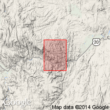
(advance copy). Unit is extended into report area (South Mountain 7.5-min quadrangle, Malheur Co., OR). Age is middle Miocene.
Source: GNU records (USGS DDS-6; Menlo GNULEX).
- Usage in publication:
-
- Tims Peak Basalt*
- Modifications:
-
- Areal extent
- Age modified
- Geochronologic dating
- AAPG geologic province:
-
- Snake River basin
Summary:
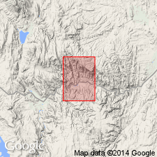
(advance copy). Unit is geographically extended into report area (Jonesboro 7.5-min quadrangle, Malheur County, Oregon). Age is (middle) Miocene based on radiometric age data (12.4 Ma) and regional stratigraphic relations.
Source: GNU records (USGS DDS-6; Menlo GNULEX).
For more information, please contact Nancy Stamm, Geologic Names Committee Secretary.
Asterisk (*) indicates published by U.S. Geological Survey authors.
"No current usage" (†) implies that a name has been abandoned or has fallen into disuse. Former usage and, if known, replacement name given in parentheses ( ).
Slash (/) indicates name conflicts with nomenclatural guidelines (CSN, 1933; ACSN, 1961, 1970; NACSN, 1983, 2005, 2021). May be explained within brackets ([ ]).