

- Usage in publication:
-
- Timothy sandstone*
- Modifications:
-
- Named
- Dominant lithology:
-
- Sandstone
- AAPG geologic province:
-
- Snake River basin
- Wasatch uplift
Summary:
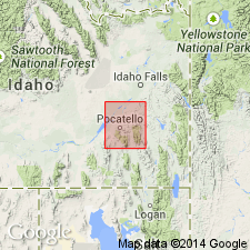
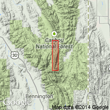
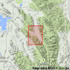
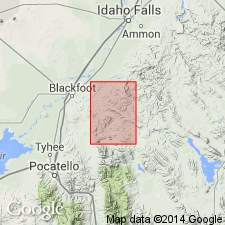
Named for Timothy Creek which lies in the Lanes Creek and Freedom quads., east of the Fort Hall Indian Reservation, Caribou Co., ID on the Wasatch uplift. Mapped (geologic map) in the east part of area, east of Deadman Creek and near Higham Peak, Ts 2 to 4 S, Rs 37 and 38 E, Bingham Co., ID in the Snake River basin. No type locality designated. Is well exposed in the two quadrangles and on the Reservation. Rocks called Timothy in this report were referred to as the Ankareh sandstone in earlier reports. Stratigraphic table. History of nomenclature chart. Timothy: unconformably overlies Portneuf limestone of Thaynes group; unconformably underlies Higham grit (formerly Higham grit member of Nugget sandstone); is a sugary, yellow and gray, uniform sandstone about 800 ft thick; forms beds 1 to 3 inches thick. No fossils found. Appears to be more like Thaynes, than younger rocks, and is thus assigned to the Early Triassic, though it may be younger.
Source: GNU records (USGS DDS-6; Denver GNULEX).
- Usage in publication:
-
- Timothy formation
- Modifications:
-
- Areal extent
Summary:
Pg. 1530. Timothy formation. Comprises 1,310 feet of red shales and siltstones, with interbedded reddish-purple and reddish-brown sandstones in central Wasatch Mountains, Utah. Age is Triassic.
Source: US geologic names lexicon (USGS Bull. 1200, p. 3891).
- Usage in publication:
-
- Timothy sandstone*
- Modifications:
-
- Age modified
- Areal extent
- AAPG geologic province:
-
- Snake River basin
Summary:
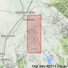
Pg. 17, 33-34, pl. 1. Timothy sandstone. Has conformable contacts with Portneuf limestone below and Higham grit above where mapped in Ammon and Paradise Valley
quadrangles, Idaho. Age is Late Triassic.
Source: US geologic names lexicon (USGS Bull. 1200, p. 3891).
- Usage in publication:
-
- Timothy sandstone member*
- Modifications:
-
- Revised
- AAPG geologic province:
-
- Wasatch uplift
- Green River basin
Summary:
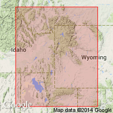
Reduced in stratigraphic rank from formation and added to the Thaynes formation as its uppermost member. Timothy is lithologically related to Thaynes and is gradational with the Thaynes. Conformably overlies Portneuf limestone member. Recognized in southeast ID on the Wasatch uplift and adjoining southwest WY in the Greater Green River basin. Underlies Higham grit in western part and undivided Ankareh formation in eastern part. Cross sections. Usually 250 ft thick. Is 800 ft thick at Fort Hall Indian Reservation. No fossils found. Of Early and Late Triassic age. Correlation chart. Cross sections.
Source: GNU records (USGS DDS-6; Denver GNULEX).
- Usage in publication:
-
- Timothy sandstone member*
- Modifications:
-
- Overview
- AAPG geologic province:
-
- Wasatch uplift
Summary:
Mapped (geologic map) as the upper member of the Thaynes formation in the Preuss Range, Caribou Co., ID on the Wasatch uplift where it overlies the upper part of the Portneuf limestone member of the Thaynes and underlies the upper member (called Wood shale tongue in text) of the Ankareh formation. Consists of 250 to 400 ft of olive-gray, fine- to coarse-grained sandstone that appears to be well sorted and has many black grains (chert?). Weathers into soft rounded outcrops. Assigned to the Lower Triassic. Stratigraphic table.
Source: GNU records (USGS DDS-6; Denver GNULEX).
- Usage in publication:
-
- Timothy sandstone member*
- Modifications:
-
- Overview
- AAPG geologic province:
-
- Wasatch uplift
Summary:
Mapped as the upper member of the Thaynes Formation in the Lanes Butte area in the north-central part of the quad. and in the northeast part of quad. in Caribou Co., ID on the Wasatch uplift. Overlies the upper part of the Portneuf Limestone Member of the Thaynes. Underlies Higham Grit. Consists of 200 to 250 ft of buff to gray, fine- to medium-grained, glauconitic, locally cross-bedded sandstone interbedded at base with maroon and pale-green shale. Assigned to the Early Triassic.
Source: GNU records (USGS DDS-6; Denver GNULEX).
- Usage in publication:
-
- Timothy Sandstone*
- Modifications:
-
- Revised
- AAPG geologic province:
-
- Snake River basin
Summary:
Removed from the Thaynes Formation and assigned formation rank "because of its nonmarine origin." Timothy overlies Portneuf Limestone Member (reduced to member rank), upper member of Thaynes and underlies Higham Grit. Composed of gray, cross-bedded, fine- to medium-grained, rusty-brown to tan weathering sandstone. Plant impressions locally. Mapped (geologic map) in the central-eastern part of quad. in Bingham Co., ID in the Snake River basin where it is 800 ft thick. Assigned to the Lower Triassic.
Source: GNU records (USGS DDS-6; Denver GNULEX).
For more information, please contact Nancy Stamm, Geologic Names Committee Secretary.
Asterisk (*) indicates published by U.S. Geological Survey authors.
"No current usage" (†) implies that a name has been abandoned or has fallen into disuse. Former usage and, if known, replacement name given in parentheses ( ).
Slash (/) indicates name conflicts with nomenclatural guidelines (CSN, 1933; ACSN, 1961, 1970; NACSN, 1983, 2005, 2021). May be explained within brackets ([ ]).