- Usage in publication:
-
- Timbered Hills group
- Modifications:
-
- First used
- Dominant lithology:
-
- Sandstone
- Limestone
- AAPG geologic province:
-
- South Oklahoma folded belt
- Ouachita folded belt
Summary:
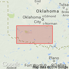
First used in Arbuckle and Wichita Mountains, southern OK, South Oklahoma folded belt province. Intent to name not stated. No type locality designated and source of name not stated. Group includes (ascending): Reagan sandstone, 500 ft; Cap Mountain sandstone; and Honey Creek formation (all new). Cap Mountain practically equivalent to Honey Creek in western part of mountains. Underlies Fort Sill limestone, basal formation of Arbuckle group; boundary is indefinite. Unconformably overlies Precambrian granite. Age is Late Cambrian [see Decker (1939) for more complete description].
Source: GNU records (USGS DDS-6; Denver GNULEX).

- Usage in publication:
-
- Timbered Hills group
- Modifications:
-
- Named
- Dominant lithology:
-
- Sandstone
- Limestone
- Shale
- AAPG geologic province:
-
- South Oklahoma folded belt
- Ouachita folded belt
Summary:
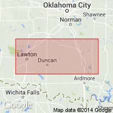
Is principal report which establishes the group name, and describes and designates type sections for each of the formations in Arbuckle and Wichita Mountains, South Oklahoma folded belt province. Named for East and West Timbered Hills of Arbuckle Mountains, South Oklahoma folded belt province. Group consists of (ascending): Reagan sandstone, brown quartzite and arkose conglomerate and coarse sandstones becoming limy at top, 460 ft thick; Cap Mountain formation, a sandy, gray to pinkish-green dolomite, 125 ft thick; and Honey Creek formation, gray, crystalline, fossiliferous limestone containing glauconite, 124 ft thick. Cap Mountain is present in only one locality in Arbuckle Mountains; elsewhere, Honey Creek rests on Reagan sandstone. Timbered Hills group underlies Fort Sill formation of Arbuckle group; overlies Precambrian granite. Age is Late Cambrian.
Source: GNU records (USGS DDS-6; Denver GNULEX).

- Usage in publication:
-
- Timbered Hills group
- Modifications:
-
- Revised
- AAPG geologic province:
-
- South Oklahoma folded belt
Summary:
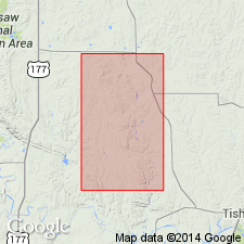
In southern OK, South Oklahoma folded belt province, Timbered Hills group is revised to include only Reagan sandstone (below) and Honey Creek formation (above). Cap Mountain of Ulrich (1932) is shown on basis of fossils to be part of Honey Creek formation. Age is Late Cambrian.
Source: GNU records (USGS DDS-6; Denver GNULEX).
For more information, please contact Nancy Stamm, Geologic Names Committee Secretary.
Asterisk (*) indicates published by U.S. Geological Survey authors.
"No current usage" (†) implies that a name has been abandoned or has fallen into disuse. Former usage and, if known, replacement name given in parentheses ( ).
Slash (/) indicates name conflicts with nomenclatural guidelines (CSN, 1933; ACSN, 1961, 1970; NACSN, 1983, 2005, 2021). May be explained within brackets ([ ]).

