

- Usage in publication:
-
- Tiglukpuk formation*
- Modifications:
-
- First used
- Dominant lithology:
-
- Conglomerate
- Graywacke
- Sandstone
- Tuff
- AAPG geologic province:
-
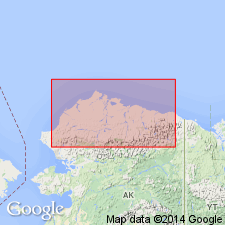
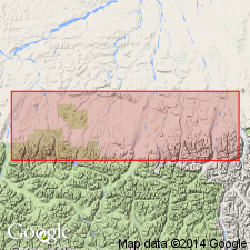
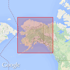
- Alaska Northern region
Summary:
Named credited to papers by members of USGS Alaskan Branch. Is dominantly coarse clastic sedimentary rock in northern Alaksa. Occurs in foothills north of Brooks Range extending near Lupine River southwestward as far as Utukok River. Characterized by conglomerate, graywacke, sandstone, chert-like material, tuffs, pillow lavas and few thin beds of limestone which contain AUCELLA. Ranges in thickness from featheredge to about 2,000 feet. Overlies with angular discordance Triassic or older rocks. Age given as Jurassic. [Adopted by the USGS (G.V. Cohee, chairman, Geologic Names Committee meeting, March, 24, 1954).]
Source: GNU records (USGS DDS-6; Menlo GNULEX); GNC index card files (USGS-Menlo).
- Usage in publication:
-
- Tiglukpuk formation*
- Modifications:
-
- Named
- Biostratigraphic dating
- Dominant lithology:
-
- Shale
- Siltstone
- Graywacke
- AAPG geologic province:
-
- Alaska Northern region
Summary:
Typically exposed on Tiglukpuk Creek, a tributary of the Siksikpuk River. Composed principally of shale, siltstone and graywacke with subordinate amounts of chert, siliceous black shale, variegated shale and siltstone and coquinoid limestone. Is 1,450 feet thick at type section and up to 1,800 feet at scattered outcrops. Overlies Shublik formation with little or no angular discordance. Underlies Opikruak formation or younger Cretaceous rocks, in some places with angular discordance. Underlies Fortress Mountain formation (new). Age is Late Jurassic based on pelecypods (identified by R.W. Imlay).
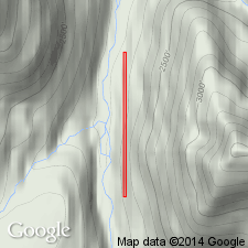
Type section (p. 215, fig. 5): along series of cutbanks on east side of Tiglukpuk Creek, a tributary of the Siksikpuk River, between Lat. 68 deg. 22 min. N. and 68 deg. 22 min. 30 sec. N., Long. 151 deg. [50 min.? or 54 min.? W.], northern AK.
Source: GNU records (USGS DDS-6; Menlo GNULEX); GNC index card files (Menlo).
- Usage in publication:
-
- Tiglukpuk formation*
- Modifications:
-
- Age modified
- Biostratigraphic dating
- AAPG geologic province:
-
- Alaska Northern region
Summary:
Footnote added (p. __). "All BUCHIA collections from the Tiglukpuk formation have been reidentified by D.L. Jones (oral commun., 1964) as BUCHIA cf. B. SUBLAEVIS of probable Valanginian age. Thus the Tiglukpuk formation may be partly or entirely Early Cretaceous rather than Jurassic in age and possibly younger than the Okpikruok formation."
Source: GNC index card files (Menlo).
- Usage in publication:
-
- Tiglukpuk Formation†
- Modifications:
-
- Abandoned
- AAPG geologic province:
-
- Alaska Northern region
Summary:
Tiglukpuk Formation of Late Jurassic age of Patton (1956) is abandoned due to its type locality being now known to be a faulted section consisting of Middle Jurassic and Lower Cretaceous rocks (Jones and Grantz, 1964).
Source: GNU records (USGS DDS-6; Menlo GNULEX).
For more information, please contact Nancy Stamm, Geologic Names Committee Secretary.
Asterisk (*) indicates published by U.S. Geological Survey authors.
"No current usage" (†) implies that a name has been abandoned or has fallen into disuse. Former usage and, if known, replacement name given in parentheses ( ).
Slash (/) indicates name conflicts with nomenclatural guidelines (CSN, 1933; ACSN, 1961, 1970; NACSN, 1983, 2005, 2021). May be explained within brackets ([ ]).