The National Geologic Map Database is migrating to a new infrastructure. We apologize for any service disruptions during this process.
|
|---|


- Usage in publication:
-
- Thoreau formation
- Modifications:
-
- Named
- Dominant lithology:
-
- Siltstone
- Sandstone
- AAPG geologic province:
-
- San Juan basin
Summary:
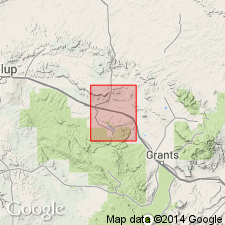
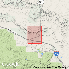
Named as the uppermost formation of the San Rafael Group for exposures along cliffs north of town of Thoreau, northern part of Thoreau quad, secs 9 and 17, T14N, R13W, McKinley Co, NM in the San Juan basin. Mapped as a band along north part of quad from west edge to within less than a mile of the east edge. Divided into a lower even-bedded member and an upper cross-laminated member. The lower member consists of alternating, poorly sorted, brown, red, and white siltstone and sandstone with thin mudstone layers near base. Local limestone lenses and limy siltstone mark the gradation from the underlying Todilto limestone and the lower member of Thoreau. The upper member consists of massive, cross-laminated, medium-grained, poorly sorted sandstone. Abundant red, black, and brown chert fragments in even-bedded zones 2-5 ft thick alternate with cross-laminated layers 5 to 11 ft thick. Is 384 ft thick at the type--200 ft is assigned to the lower member and 184 ft is assigned to the upper member. Underlies the Chavez member (new) of the Morrison formation. Of Jurassic age. Geologic map; columnar section.
Source: GNU records (USGS DDS-6; Denver GNULEX).
- Usage in publication:
-
- Thoreau Formation
- Modifications:
-
- Not used
Summary:
Not used. Shown on a correlation chart as used by Smith (1954) and as equivalent to the Beclabito Member of the Wanakah Formation and to all of the Cow Springs Sandstone of this report.
Source: GNU records (USGS DDS-6; Denver GNULEX).
For more information, please contact Nancy Stamm, Geologic Names Committee Secretary.
Asterisk (*) indicates published by U.S. Geological Survey authors.
"No current usage" (†) implies that a name has been abandoned or has fallen into disuse. Former usage and, if known, replacement name given in parentheses ( ).
Slash (/) indicates name conflicts with nomenclatural guidelines (CSN, 1933; ACSN, 1961, 1970; NACSN, 1983, 2005, 2021). May be explained within brackets ([ ]).