- Usage in publication:
-
- Thebes Sandstone
- Modifications:
-
- Principal reference
- Revised
- Age modified
- AAPG geologic province:
-
- Ozark uplift
- Illinois basin
Summary:
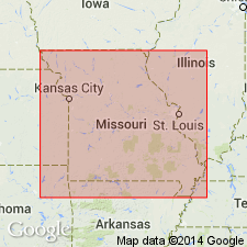
Thebes Sandstone assigned to Maquoketa Group. Conformably overlies Cape La Croix Shale (new) of Maquoketa. Age is Late Ordovician (Cincinnatian). Report includes stratigraphic columns, correlation and nomenclature charts, and type section maps.
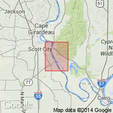
Type section: outcrop below courthouse in town of Thebes, SE/4 SW/4 SE/4 sec. 8, T. 15 S., R. 3 W., Thebes 7.5-min quad, Alexander Co. southwestern IL.
Reference sections: (1) exposure on east fork of Cape La Croix Creek, N/2 SW/4 SW/4 SW/4 sec. 13., T. 31 N., R. 13 E., Cape Girardeau 7.5-min quad, Cape Girardeau Co., eastern MO; and (2) in upper part of type section for Cape Limestone north of junction of Main and Broadway Streets in Cape Girardeau, Cape Girardeau Co., eastern MO.
Source: Modified from GNU records (USGS DDS-6; Reston GNULEX).

- Usage in publication:
-
- Thebes Sandstone*
- Modifications:
-
- Overview
- AAPG geologic province:
-
- Illinois basin
- Upper Mississippi embayment
Summary:
Thebes Sandstone of Maquoketa Group mapped undivided with Cape La Croix Shale and Orchard Creek Shale, both of Maquoketa Group in IL and MO. Consists of sandstone, siltstone, and minor silty shale. Sandstone is brown to brownish gray, noncalcareous, argillaceous, thick bedded to massive and consists of fine- to medium-grained quartz. Locally, sandstone is cross-bedded, but more commonly intense bioturbation has destroyed all laminations. Siltstones and silty shales are grayish black, slightly calcareous, and typically bioturbated. Age is Cincinnatian.
Source: GNU records (USGS DDS-6; Reston GNULEX).
For more information, please contact Nancy Stamm, Geologic Names Committee Secretary.
Asterisk (*) indicates published by U.S. Geological Survey authors.
"No current usage" (†) implies that a name has been abandoned or has fallen into disuse. Former usage and, if known, replacement name given in parentheses ( ).
Slash (/) indicates name conflicts with nomenclatural guidelines (CSN, 1933; ACSN, 1961, 1970; NACSN, 1983, 2005, 2021). May be explained within brackets ([ ]).

