- Usage in publication:
-
- Texas Gulch formation*
- Modifications:
-
- Named
- Dominant lithology:
-
- Tuff
- Slate
- AAPG geologic province:
-
- Southwestern Basin-and-Range region
Summary:
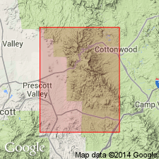
Is named as a formation of Alder group of Yavapai series. A representative section (type section?) is in Texas Gulch [SW1/4 sec 31, T14N, R2E], Yavapai Co, AZ, Southwestern Basin-and-Range region. Extends from southern border of Jerome area north for about 14 mi to a point north of Jerome highway. The thickness and stratigraphic relationships are unknown. Has been deformed intensely. Thickness of individual units changes abruptly along strike. Consists of alternating beds of rhyolitic tuff and purple slate. Rhyolite is gray or white, has abundant sericite on cleavage surfaces, is erratically foliated, lineation is common. Rhyolite ranges from fine-grained through coarse-grained tuff to pebble or cobble conglomerate. Slate has pronounced cleavage that is cut by cross slips or shears with no pattern. Is older Precambrian. Geologic map.
Source: GNU records (USGS DDS-6; Denver GNULEX).

- Usage in publication:
-
- Texas Gulch Formation*
- Modifications:
-
- Revised
- AAPG geologic province:
-
- Southwestern Basin-and-Range region
Summary:
Removed from Alder Group [areally restricted to its type] and from Yavapai Series. Alder Group replaced with Big Bug Group in the Jerome-Prescott area, Yavapai County, Arizona (Southwestern Basin-and-Range region). Yavapai redefined as a provincial time-stratigraphic term (1,770 +/-10 to 1,820+ m.y.) indicating length of time represented by the Ash Creek and Big Bug Groups. Isotopic data and the field relations indicate that the Texas Gulch Formation, formerly considered oldest formation of Alder Group (citing C.A. Anderson, 1968, GSA Memoir 116, p. 14), in Jerome-Prescott area must be younger than the Big Bug Group. Age is Precambrian. Report includes geologic map. The Texas Gulch Formation is removed from the Yavapai Series because it is separated from the rocks of the Big Bug Group by a period of plutonism, represented by the Brady Butte Granodiorite, and subsequent erosion.
Source: Publication; Changes in stratigraphic nomenclature, 1971 (USGS Bull. 1372-A, p. A2-A3); GNU records (USGS DDS-6; Denver GNULEX).

- Usage in publication:
-
- Texas Gulch Formation*
- Modifications:
-
- Areal extent
- AAPG geologic province:
-
- Southwestern Basin-and-Range region
Summary:
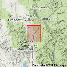
zzzzzExtended southward to T13N, Rs1 and 1 1/2E into Mayer quadrangle, Yavapai Co, AZ, Southwestern Basin-and-Range region. [This may be the southernmost extension of use of the name.]
Source: GNU records (USGS DDS-6; Denver GNULEX).
For more information, please contact Nancy Stamm, Geologic Names Committee Secretary.
Asterisk (*) indicates published by U.S. Geological Survey authors.
"No current usage" (†) implies that a name has been abandoned or has fallen into disuse. Former usage and, if known, replacement name given in parentheses ( ).
Slash (/) indicates name conflicts with nomenclatural guidelines (CSN, 1933; ACSN, 1961, 1970; NACSN, 1983, 2005, 2021). May be explained within brackets ([ ]).

