The National Geologic Map Database is migrating to a new infrastructure. We apologize for any service disruptions during this process.
|
|---|


- Usage in publication:
-
- Tempa schist
- Modifications:
-
- Named
- Dominant lithology:
-
- Schist
- AAPG geologic province:
-
- Piedmont-Blue Ridge province
Summary:
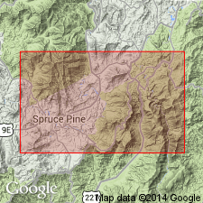
Name Tempa schist introduced in this report for mass on Tempa Mountain, in Mitchell Co., western NC. Composed of muscovite, quartz, biotite, chlorite, and sometimes feldspar. Has a width of a little over 1 mi and a length of 4 mi. Cut by hornblende intrusions which are very likely same age as gabbro from which Roan gneiss was derived. No age stated.
Source: GNU records (USGS DDS-6; Reston GNULEX).
For more information, please contact Nancy Stamm, Geologic Names Committee Secretary.
Asterisk (*) indicates published by U.S. Geological Survey authors.
"No current usage" (†) implies that a name has been abandoned or has fallen into disuse. Former usage and, if known, replacement name given in parentheses ( ).
Slash (/) indicates name conflicts with nomenclatural guidelines (CSN, 1933; ACSN, 1961, 1970; NACSN, 1983, 2005, 2021). May be explained within brackets ([ ]).