

- Usage in publication:
-
- Temescal formation*
- Modifications:
-
- Named
- Dominant lithology:
-
- Alluvium
- AAPG geologic province:
-
- California Coast Ranges province
Summary:
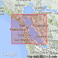
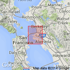
Named for development along Temescal Creek, Alameda Co, CA. Composed of secondary alluvium derived from alluvial embankment of San Antonio Formation (new) in course of its degradation. Alluvial deposits at base of steep slopes of San Francisco, Haywards, and San Mateo quads appear to be chronologic equivalents of Temescal formation and are so mapped. Thickness varies up to 13 ft. Unconformably overlies marine Merritt sand (new) of Pleistocene age. Is Recent [Holocene] age.
Source: GNU records (USGS DDS-6; Menlo GNULEX).
- Usage in publication:
-
- Temescal formation*
- Modifications:
-
- Revised
- AAPG geologic province:
-
- California Coast Ranges province
Summary:
Informal designation "younger valley alluvium" is used in part at least for Temescal formation of Lawson (1914).
Source: GNU records (USGS DDS-6; Menlo GNULEX).
- Usage in publication:
-
- Temescal formation*
- Modifications:
-
- Age modified
- Revised
- AAPG geologic province:
-
- California Coast Ranges province
Summary:
Writer believes deposition of Temescal formation and chert-gravel member of San Antonio formation was contemporaneous and that they are the same unit, of Pleistocene age. Name Temescal rather than San Antonio is used for all Pleistocene gravelly alluvium overlying Alameda formation.
Source: GNU records (USGS DDS-6; Menlo GNULEX).
For more information, please contact Nancy Stamm, Geologic Names Committee Secretary.
Asterisk (*) indicates published by U.S. Geological Survey authors.
"No current usage" (†) implies that a name has been abandoned or has fallen into disuse. Former usage and, if known, replacement name given in parentheses ( ).
Slash (/) indicates name conflicts with nomenclatural guidelines (CSN, 1933; ACSN, 1961, 1970; NACSN, 1983, 2005, 2021). May be explained within brackets ([ ]).