The National Geologic Map Database is migrating to a new infrastructure. We apologize for any service disruptions during this process.
|
|---|


- Usage in publication:
-
- Tar Heel Formation*
- Modifications:
-
- First used
- AAPG geologic province:
-
- Atlantic Coast basin
Summary:
The Tar Heel Formation of the Black Creek Group is used. Formal proposal will follow in Sohl and Owens (1991).
Source: GNU records (USGS DDS-6; Reston GNULEX).
- Usage in publication:
-
- Tar Heel Formation*
- Modifications:
-
- Named
- Dominant lithology:
-
- Sand
- Clay
- AAPG geologic province:
-
- Atlantic Coast basin
Summary:
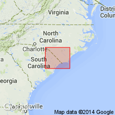
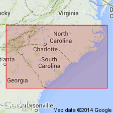
The Tar Heel Formation is here named the lower formation of the Black Creek Group (revised) in the Cape Fear Arch, bounded by the Tar River, NC and the Pee Dee River, SC. It represents the lower nonmarine part of Heron's (1958) Bladen Member of the Black Creek Formation. It exhibits a progression of lithofacies from shelf to a delta system. Consists of intercalated beds of oxidized, red to brown, cross-bedded sand and variegated clay in the south, to thin horizontal beds of black carbonaceous clay interbedded with micaceous, white-buff sands in the east and northeast, to massive dark-gray sandy clay-silt in the north. Disconformably overlies the Cape Fear Formation; underlies the Bladen Formation (revised) of the Black Creek. Thickness ranges from 140 to 325 ft. Age is early Campanian, based on palynomorph floras supported by ostracodes and mollusks.
Source: GNU records (USGS DDS-6; Reston GNULEX).
- Usage in publication:
-
- Tar Heel Formation*
- Modifications:
-
- Biostratigraphic dating
- AAPG geologic province:
-
- Atlantic Coast basin
Summary:
Tar Heel Formation shown as Late Cretaceous (early Campanian) in fig. 2. Early Campanian age based on CRASSATELLA CAROLINENSIS collected from Greene Co., eastern NC, and CRASSATELLA HODGEI collected from Greene, Lenoir, Pitt, and Wayne Cos., eastern NC.
Source: GNU records (USGS DDS-6; Reston GNULEX).
- Usage in publication:
-
- Tar Heel Formation*
- Modifications:
-
- Age modified
- Areal extent
- AAPG geologic province:
-
- Atlantic Coast basin
Summary:
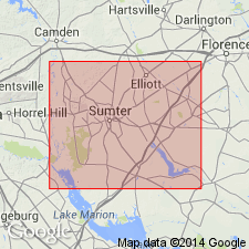
Black Creek Group strata in corehole in Sumter Co., central SC, are similar to subdivisions of Black Creek strata described by Sohl and Owens (1991) for NC and eastern SC. In the study area, the subdivisions of Black Creek Group are queried as Tar Heel(?) Formation, Bladen(?) Formation, and Donoho Creek(?) Formation [until more detailed information is known]. Figure 4 shows correlation with Blufftown Formation in AL and assignment to Austinian and Tayloran provincial stages.
Source: GNU records (USGS DDS-6; Reston GNULEX).
For more information, please contact Nancy Stamm, Geologic Names Committee Secretary.
Asterisk (*) indicates published by U.S. Geological Survey authors.
"No current usage" (†) implies that a name has been abandoned or has fallen into disuse. Former usage and, if known, replacement name given in parentheses ( ).
Slash (/) indicates name conflicts with nomenclatural guidelines (CSN, 1933; ACSN, 1961, 1970; NACSN, 1983, 2005, 2021). May be explained within brackets ([ ]).