- Usage in publication:
-
- Taloga formation
- Modifications:
-
- Original reference
- AAPG geologic province:
-
- Anadarko basin
Cragin, F.W., 1897, Observations on the Cimarron series: American Geologist, v. 19, p. 351-363.
Summary:
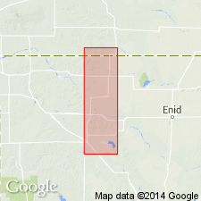
Pg. 362-363. Taloga formation. Name proposed to include all of Kiger division above Day Creek dolomite, the persistence of Hackberry shales and Big Basin sandstone in central Oklahoma being doubtful, and younger rocks of Kiger division being present farther west. Age is Permian (Cimarron).
Named from Taloga, Dewey Co., western OK.
Source: US geologic names lexicon (USGS Bull. 896, p. 2112); GNC KS-NE Permian Corr. Chart, Oct. 1936.

- Usage in publication:
-
- Taloga formation
- Modifications:
-
- Overview
Summary:
Taloga formation of Cimarron group. C.S. Prosser, 1902 (Jour. Geol., v. 10, p. 703-737), used this name as defined by Cragin, as did E. Haworth and J. Bennett, 1908 (Univ. Geol. Survey Kansas, v. 9). R.C. Moore and W.P. Haynes, however, discarded the name (Kansas Geol. Survey Bull., no. 3, 1917), and used Greer formation to include Big Basin sandstone and Hackberry shale of Cragin, as did R.C. Moore, 1920 (Kansas Geol. Survey Bull., no. 6, pt. 2). There is no other record of Taloga formation, and †Greer formation was discarded in 1924 by its author.
Source: US geologic names lexicon (USGS Bull. 896, p. 2112).

- Usage in publication:
-
- Taloga formation*
- Modifications:
-
- Areal extent
- AAPG geologic province:
-
- Anadarko basin
- Las Animas arch
- Las Vegas-Raton basin
Summary:
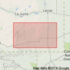
Extended into the subsurface of Otero County, Colorado, on the Las Animas arch, Las Animas County, Colorado, in the Las Vegas-Raton basin, and Baca County, Colorado, in the Anadarko basin. Is 60 to 120 feet thick. Probably correlates with part of Lykins formation. Overlies Day Creek dolomite. Age is Permian. Report includes correlation chart.
Source: Modified from GNU records (USGS DDS-6; Denver GNULEX).

- Usage in publication:
-
- Taloga formation*
- Modifications:
-
- Areal extent
- AAPG geologic province:
-
- Anadarko basin
Summary:
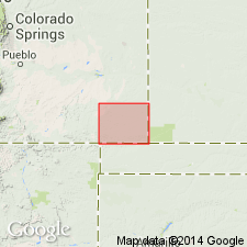
Upper part of Taloga crops out along Two Butte Creek near Prowers Co line. Believed to underlie all of Baca Co, CO in the Anadarko basin. Is poorly exposed, principally a red to yellowish-brown or buff shale, siltstone, and sandy shale containing thin beds of hard sandstone. Thins northeast toward KS and southeast toward OK. Underlies Dockum group. Of Permian age. Geologic map. Cross section.
Source: GNU records (USGS DDS-6; Denver GNULEX).
For more information, please contact Nancy Stamm, Geologic Names Committee Secretary.
Asterisk (*) indicates published by U.S. Geological Survey authors.
"No current usage" (†) implies that a name has been abandoned or has fallen into disuse. Former usage and, if known, replacement name given in parentheses ( ).
Slash (/) indicates name conflicts with nomenclatural guidelines (CSN, 1933; ACSN, 1961, 1970; NACSN, 1983, 2005, 2021). May be explained within brackets ([ ]).

