

- Usage in publication:
-
- Talisman quartzite*
- Modifications:
-
- Named
- Dominant lithology:
-
- Quartzite
- AAPG geologic province:
-
- Great Basin province
Summary:
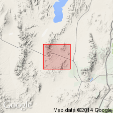
Named for the Talisman mine, T28S, R11W, Beaver Co, UT in the Great Basin province. No type locality designated. Forms an outcrop band less than one-eighth mi wide in the Star district, southeast part of map area (geologic map). Lies between the Topache limestone (new) of Mississippian? age and the Elephant limestone (new) of Pennsylvanian? age. Both contacts of Talisman are conformable; they represent a lithologic change from quartzite to limestone. Consists of fine-grained pink quartzite of rounded grains. Thickness is not uniform. Is thinnest to south. Is about 400 ft thick in central area. A near-shore deposit. No fossils found. Columnar section. Of Pennsylvanian age.
Source: GNU records (USGS DDS-6; Denver GNULEX).
- Usage in publication:
-
- Talisman Quartzite*
- Modifications:
-
- Age modified
- Areal extent
- AAPG geologic province:
-
- Great Basin province
Summary:
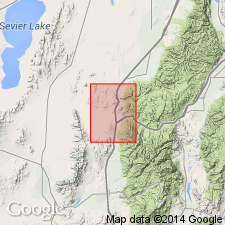
Age changed from Pennsylvanian? to Early Permian. Is nonfossiliferous, but its age is established by its stratigraphic position between two carbonate formations containing well-preserved diagnostic fossils; these are the underlying Early Pennsylvanian to Early Permian Oquirrh Formation and the overlying Early Permian Toroweap Formation. Areally extended to the southern Pavant Range and Dog Valley Mountain in the Great Basin province.
Source: GNU records (USGS DDS-6; Denver GNULEX).
For more information, please contact Nancy Stamm, Geologic Names Committee Secretary.
Asterisk (*) indicates published by U.S. Geological Survey authors.
"No current usage" (†) implies that a name has been abandoned or has fallen into disuse. Former usage and, if known, replacement name given in parentheses ( ).
Slash (/) indicates name conflicts with nomenclatural guidelines (CSN, 1933; ACSN, 1961, 1970; NACSN, 1983, 2005, 2021). May be explained within brackets ([ ]).